48 itinéraires dans Lauzière - Cheval Noir. Trouvez votre prochain parcours sur Isomaps — cartes topo, GPS et profil altimétrique.
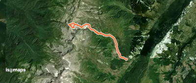
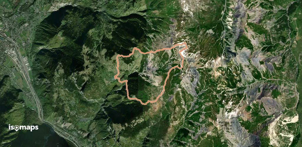
Le Grand Château, France
4,16 km +960 m 2h 35min
Facile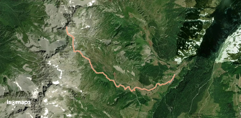
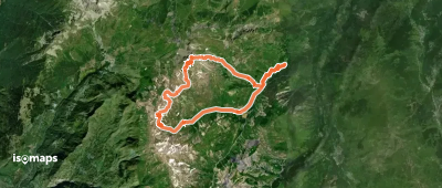
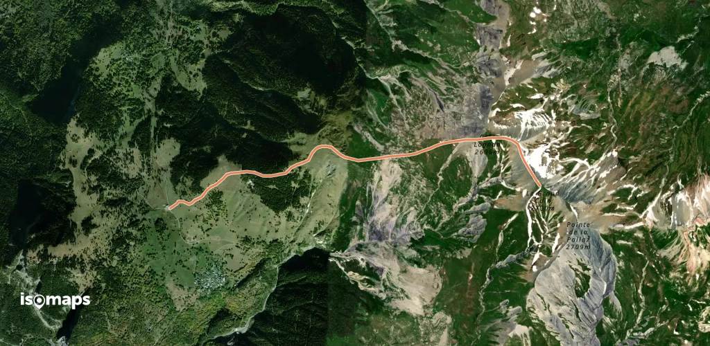
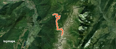
Saint-Jean-de-Belleville, France
21,56 km +2 236 m 6h 55min
Modéré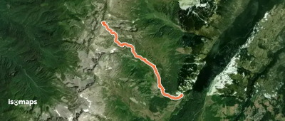
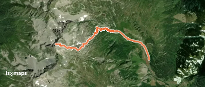
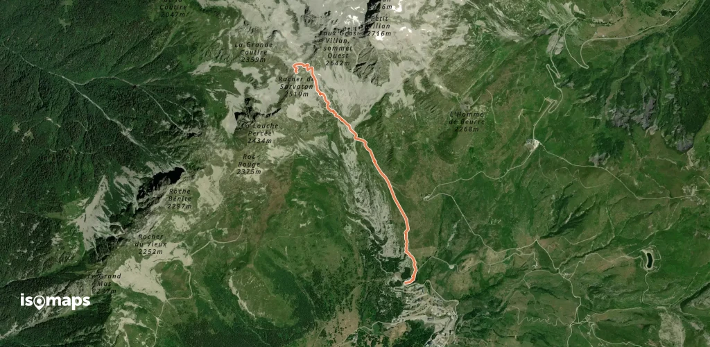
Celliers, France
12,32 km +1 675 m 4h 0min
Très difficile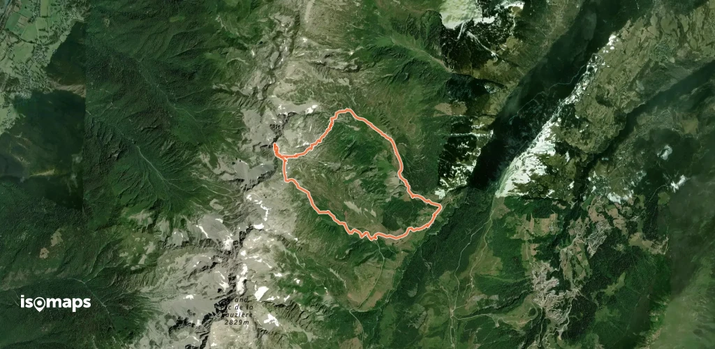

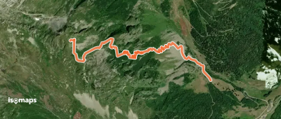
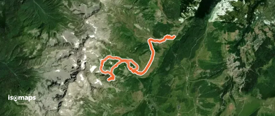
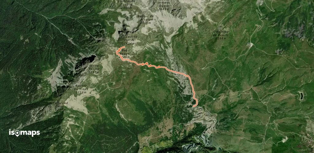
Doucy-Combelouvière, France
5,26 km +1 074 m 2h 25min
Très difficile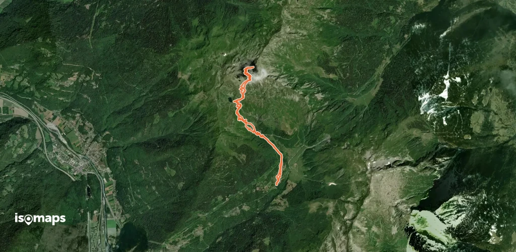
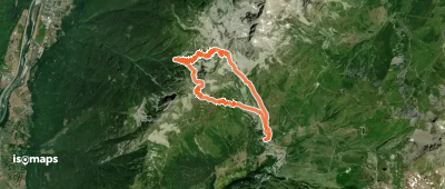
Le Coin du Châtel, France
12,26 km +1 620 m 4h 40min
Modéré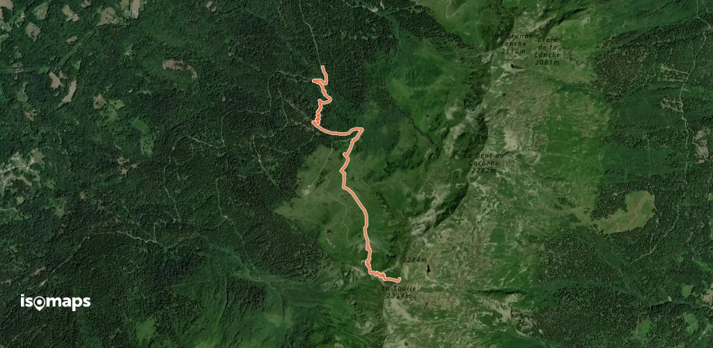

Essayez Isomaps gratuitement pendant 7 jours. Disponible sur iOS et Android.
