3 itinéraires dans Ötztal. Trouvez votre prochain parcours sur Isomaps — cartes topo, GPS et profil altimétrique.
Vent, France
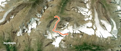
7,23 km +1 282 m 3h 10min
, France
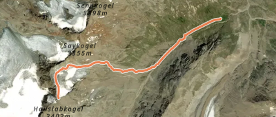
4,26 km +906 m 2h 25min
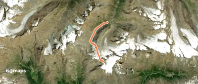
6,07 km +1 130 m 3h 5min
Essayez Isomaps gratuitement pendant 7 jours. Disponible sur iOS et Android.