Offre de lancement, abonnez-vous avant le 12 juillet et bloquez votre tarif à vie. Voir les tarifs

Valais E - Alpes Pennines E

32 itinéraires dans Valais E - Alpes Pennines E. Trouvez votre prochain parcours sur Isomaps — cartes topo, GPS et profil altimétrique.

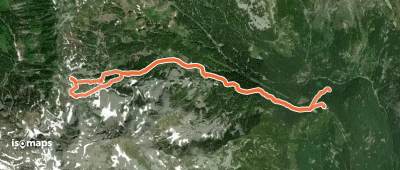
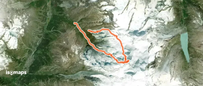
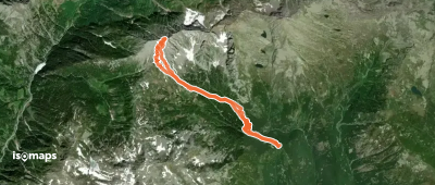
Cima Mattaroni - da San Bernardo per la Bocchetta di Gattascosa

Gattascosa, Bocchetta, Suisse

8,41 km +758 m 2h 40min

Très facile
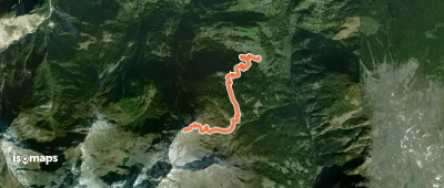
Route camptocamp 49112

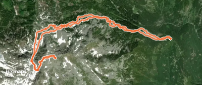
Cima del Tirone, Switzerland

10,62 km +1 114 m 3h 30min

Facile
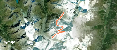
Rimpfischhorn - Boucle Täschhütte → Längfluhgletscher

Rimpfischsattel, Switzerland

16,81 km +1 727 m 5h 20min

Modéré
Route camptocamp 49889

Gattascosa, Bocchetta, Italy

13,12 km +1 034 m 3h 35min

Facile
Wyssbodehorn - Versant SE, de Egga

Galu, Suisse

5,84 km +32 m 30min

Facile
Route camptocamp 216222

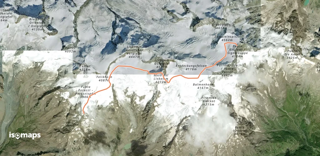
Rossbodegletscher, Switzerland

14,03 km +2 457 m 5h 35min

Très difficile
Route camptocamp 1185397

Stecknadeljoch, Switzerland

543 m +441 m 5min

Très difficile
Rimpfischhorn - De Täschhütte (voie normale)

Mellichgletscher, Switzerland

14,56 km +1 551 m 4h 5min

Facile
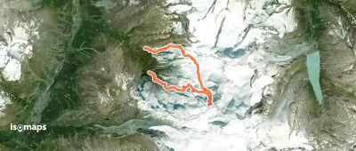
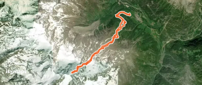
Bivouac Piero de Zen - De Egga (Simplon)

Griessernugletscher, Switzerland

10,21 km +1 428 m 4h 5min

Facile
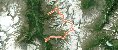
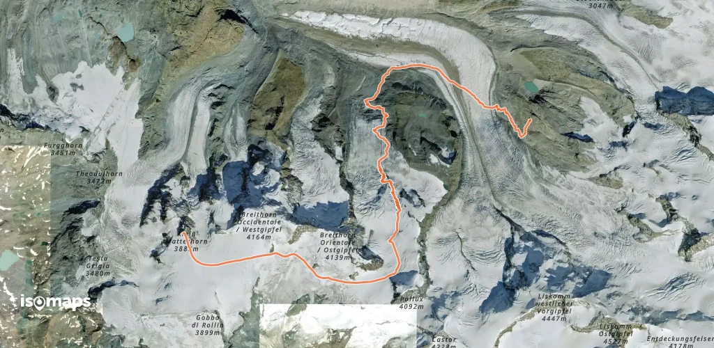
Weissmies - Traversée SE → NW

Rottalgletscher, Switzerland

18,91 km +2 593 m 6h 50min

Modéré

Prêt pour votre prochaine sortie ?

Essayez Isomaps gratuitement pendant 7 jours. Disponible sur iOS et Android.

Télécharger sur iOS Télécharger sur Android APK (sans Google)
Isomaps Vos sorties outdoor, partout, même sans réseau
Installer Installer