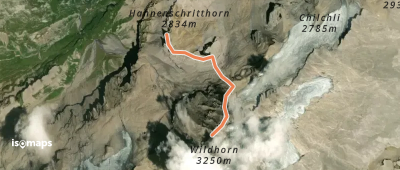
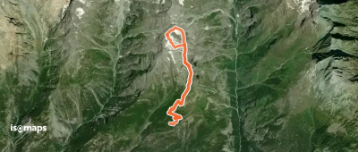
134 itinéraires dans Alpes Bernoises. Trouvez votre prochain parcours sur Isomaps — cartes topo, GPS et profil altimétrique.
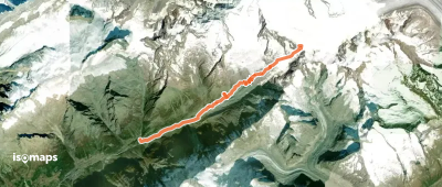
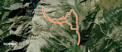
Jegichnubel, Switzerland
15,66 km +1 882 m 4h 50min
Modéré
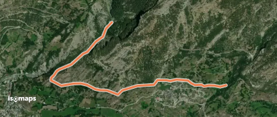
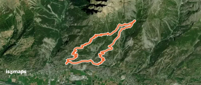
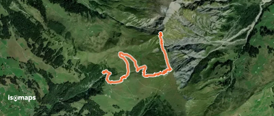
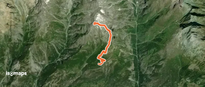
Gross Öugstchummuhorn, Switzerland
7,50 km +951 m 2h 25min
Modéré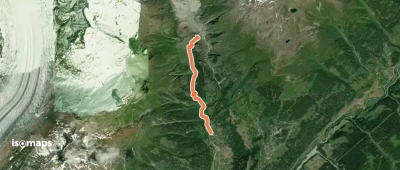
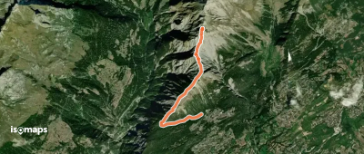
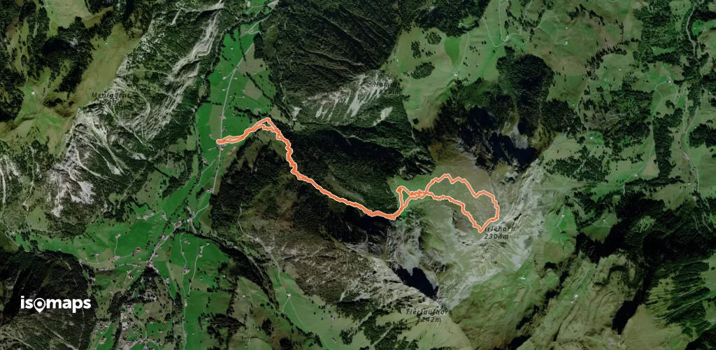
Titter, Switzerland
3,20 km +578 m 1h 35min
Modéré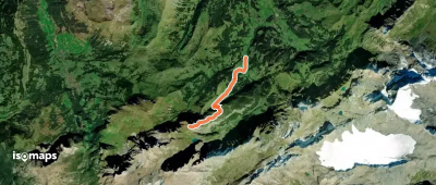
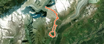
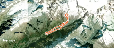
Oberaletschgletscher, Switzerland
24,27 km +2 914 m 6h 45min
Modéré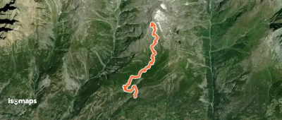

Gross Öugstchummuhorn, Switzerland
7,50 km +951 m 2h 25min
Modéré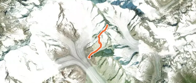
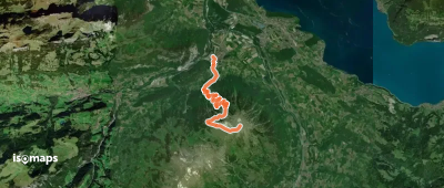
Grosses Grünhorn, Switzerland
10,01 km +1 609 m 4h 10min
Modéré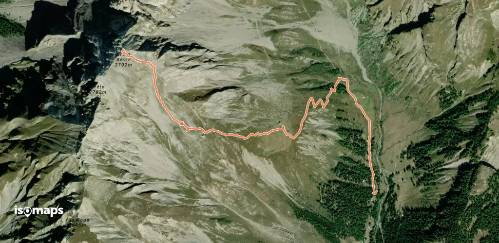
Essayez Iso Maps gratuitement pendant 7 jours. Disponible sur iOS et Android.
