8 itinéraires dans Alpes Bernoises W. Trouvez votre prochain parcours sur Isomaps — cartes topo, GPS et profil altimétrique.
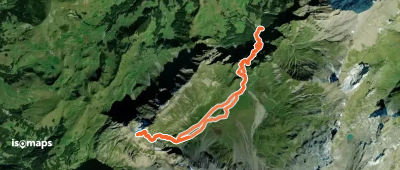

Engstligenalp, Switzerland
22,38 km +2 642 m 8h 5min
Difficile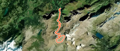
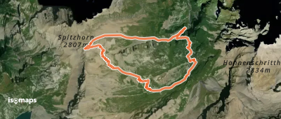
Lauenen, Switzerland
22,36 km +2 534 m 7h 30min
Modéré
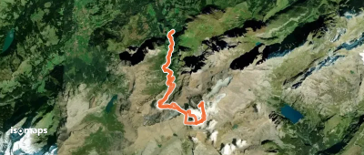
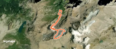
Lauenen, Switzerland
5,12 km +751 m 1h 40min
Très difficile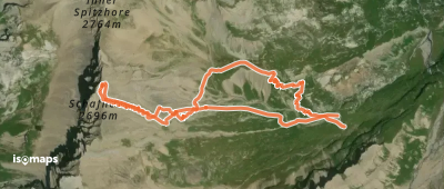
Essayez Isomaps gratuitement pendant 7 jours. Disponible sur iOS et Android.
