51 itinéraires dans Haut Giffre - Aiguilles Rouges - Fiz. Trouvez votre prochain parcours sur Isomaps — cartes topo, GPS et profil altimétrique.
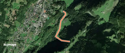
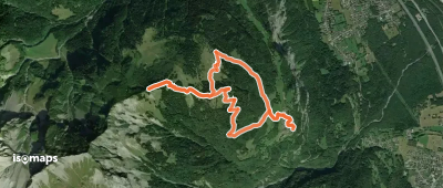
Staudamm Emosson, Switzerland
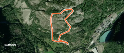
11,82 km +850 m 3h 55min
ModéréBide, Pas de la, Switzerland
4,71 km +915 m 55min
ModéréLa Golette, Switzerland
14,01 km +1 400 m 3h 30min
Modéré
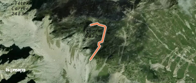
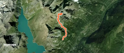
Champéry, Switzerland
17,08 km +1 100 m 6h 15min
FacileCol d'Emaney, Switzerland
23,66 km +1 734 m 7h 45min
ModéréHaute Cime, Switzerland
19,93 km +1 340 m 4h 0min
ModéréCol du Jorat, Switzerland
14,81 km +1 500 m 4h 30min
Très difficileCol de Fenestral, Switzerland
12,10 km +1 350 m 3h 55min
ModéréTête des Chaux Derrière, Switzerland
15,83 km +1 020 m 3h 55min
ModéréCroix d'Increne, Switzerland
9,55 km +784 m 1h 55min
ModéréGlacier de Soi, Switzerland
17,29 km +1 380 m 4h 55min
DifficileLa Vierge, Switzerland
6,90 km +1 600 m 1h 25min
Facile
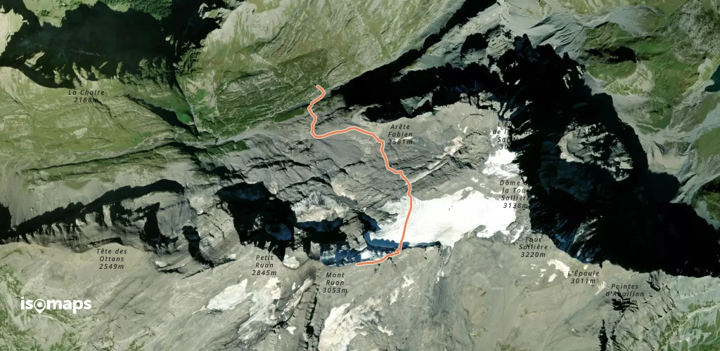
Essayez Iso Maps gratuitement pendant 7 jours. Disponible sur iOS et Android.