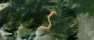
69 itinéraires dans Valais E - Alpes Pennines E. Trouvez votre prochain parcours sur Isomaps — cartes topo, GPS et profil altimétrique.
Jegiturm, Switzerland
7,00 km +1 122 m 2h 35min
Modéré
Rimpfischsattel, Switzerland
16,81 km +1 727 m 5h 20min
Modéré
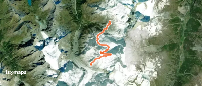
Glacier du Weisshorn, Switzerland
11,28 km +1 388 m 3h 55min
Facile
Unters Horn, Switzerland
7,73 km +1 360 m 3h 40min
Modéré
Fallgletscher, Switzerland
5,46 km +1 132 m 2h 15min
Modéré
Mellichgletscher, Switzerland
14,56 km +1 551 m 4h 5min
Facile
Mellichgletscher, Switzerland
15,53 km +1 607 m 4h 50min
Modéré
Griessernugletscher, Switzerland
10,21 km +1 428 m 4h 5min
Facile
Essayez Iso Maps gratuitement pendant 7 jours. Disponible sur iOS et Android.