25 itinerari in Alpes Bernoises. Trova il tuo prossimo percorso su Isomaps — mappe topo, GPS e profilo altimetrico.
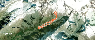
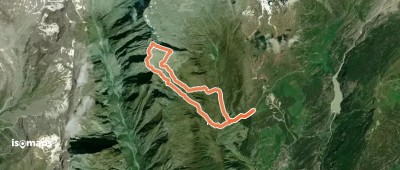
Jegichnubel, Switzerland
15,66 km +1 882 m 4h 50min
Moderato
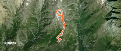
Gross Öugstchummuhorn, Switzerland
7,50 km +951 m 2h 25min
Moderato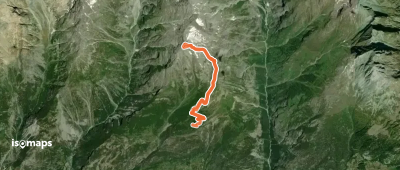
Gross Öugstchummuhorn, Switzerland
7,50 km +951 m 2h 25min
Moderato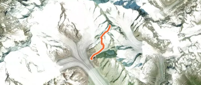
Grosses Grünhorn, Switzerland
10,01 km +1 609 m 4h 10min
Moderato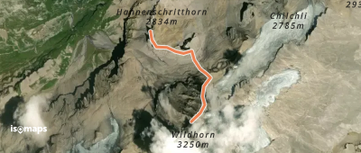
Prova Isomaps gratis 7 giorni. Disponibile su iOS e Android.
