Alpes du Nord

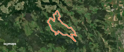
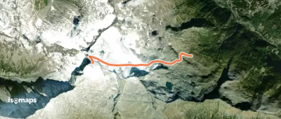
8,548 itinerari in Alpes du Nord. Trova il tuo prossimo percorso su Isomaps — mappe topo, GPS e profilo altimetrico.

Höhenweg
Höhenweg

Baad, Autriche

3,46 km +146 m 1h 5min

Molto facile
Verbindungsweg 30b
Verbindungsweg 30b

Golz, Autriche

4,41 km +533 m 1h 50min

Moderato
Adlerweg Etappe 1
Adlerweg Etappe 1

Ellmauer Haltspitze, Autriche

12,82 km +707 m 11h 40min

Moderato
Wanderweg 25
Wanderweg 25

Schönkampalpe, Autriche

3,02 km +49 m 1h 15min

Molto facile
Wanderweg 12
Wanderweg 12

Zellerhütte, Autriche

1,61 km +443 m 1h 0min

Facile
Wolfsgraben - Forsthausstraße - Taborkreuz Rundwanderweg

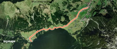
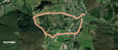
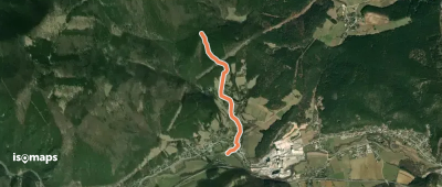
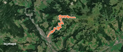
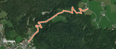
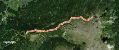
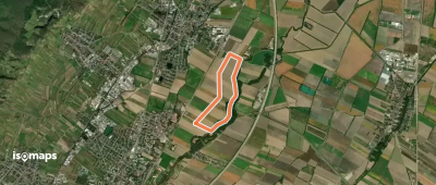
Wolfsgraben, Autriche

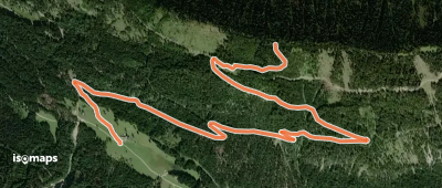
2,74 km +105 m 40min

Molto facile
Super 7 Gipfeltour
Super 7 Gipfeltour

Gamsspitzl, Autriche

12,97 km +1 745 m 10h 40min

Molto difficile
Rundwanderweg Lamm
Rundwanderweg Lamm

Pölling, Autriche

10,30 km +528 m 3h 20min

Moderato
Wanderweg 556
Wanderweg 556

Schmiednock, Autriche

4,49 km +1 144 m 2h 20min

Difficile
Wopfing - Anschluß WWW 201A u. 231

Wopfing, Autriche

1,74 km +233 m 40min

Molto facile
OSM Route 17096543
OSM Route 17096543

Hopfgarten im Brixental, Autriche

7,29 km +987 m 3h 10min

Difficile
Messweg
Messweg

Nüziders, Autriche

1,20 km +325 m 55min

Facile
Zirbenweg
Zirbenweg

Schartenkogel, Autriche

7,23 km +447 m 3h 30min

Moderato
Vorbergrundweg
Vorbergrundweg

Pichl, Autriche

7,82 km +349 m 2h 10min

Facile
Pro Consult Runde (Guntramsdorf)

Möllersdorf, Autriche

4,57 km +10 m 55min

Molto facile
Wanderweg 21
Wanderweg 21

Oberwald, Autriche

12,99 km +128 m 3h 15min

Facile
Wanderweg 587
Wanderweg 587

Schwanberger Brendelhütte, Autriche

4,68 km +29 m 1h 15min

Molto facile
Wanderweg 839
Wanderweg 839

Hohenaugupf, Autriche

2,74 km +367 m 1h 5min

Facile
Gebirgspanorama - Rundweg

Bierbaum, Autriche

11,64 km +231 m 2h 40min

Facile
Wolfgangiweg RWW 12
Wolfgangiweg RWW 12

Deutschlandsberg, Autriche

7,03 km +430 m 2h 30min

Facile

Pronto per la tua prossima uscita?

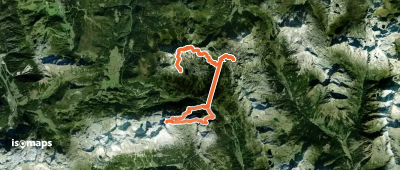
Prova Iso Maps gratis 7 giorni. Disponibile su iOS e Android.

Scarica su iOS Scarica su Android APK (senza Google)