Alpes du Nord

8,548 itinerari in Alpes du Nord. Trova il tuo prossimo percorso su Isomaps — mappe topo, GPS e profilo altimetrico.
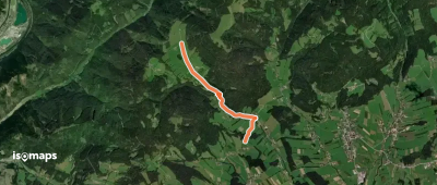
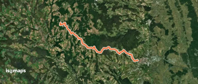
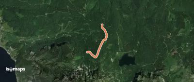
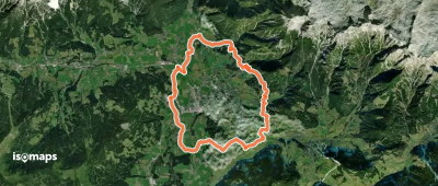
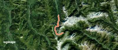
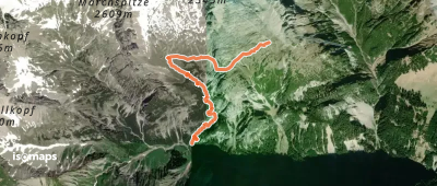
Wanderweg 15
Wanderweg 15

Nechnitz, Autriche

3,51 km +55 m 55min

Molto facile
Wanderweg 946 Hartberg Pöllauberg

Hartberg, Autriche

12,18 km +677 m 3h 25min

Moderato
Wanderweg 784
Wanderweg 784

Kobolter Alpe, Autriche

5,15 km +1 127 m 2h 50min

Difficile
Wanderweg zur Freundschaftshöhe

Grünberg, Autriche

1,28 km +218 m 40min

Molto facile
BergeSeen Trail P1: Gößl - Pühringerhütte

Elm, Autriche

8,70 km +170 m 2h 55min

Facile
Königsweg (Rund um Mühlbach)

Mühlbach am Hochkönig, Autriche

11,99 km +743 m 4h 45min

Difficile
Wanderweg 20
Wanderweg 20

Uttenhofen, Autriche

20,96 km +542 m 4h 55min

Difficile
Wanderweg 944
Wanderweg 944

Seegupf, Autriche

17,61 km +3 203 m 9h 20min

Molto difficile
Haselsdorf-Tobelbad 3

Haselsdorfberg, Autriche

13,19 km +288 m 3h 5min

Facile
Teichweg im Sulmtal
Teichweg im Sulmtal

Greith, Autriche

4,75 km +158 m 1h 15min

Molto facile
Wanderweg 644
Wanderweg 644

Trittwangkopf, Autriche

13,94 km +1 062 m 6h 10min

Difficile
Schlöglmühl - Waldburganger Hütte

Schmidsdorf, Autriche

5,11 km +734 m 2h 10min

Moderato
Dachstein-Tauern-Panoramaweg

Assach, Autriche

109,64 km +5 231 m 32h 30min

Molto difficile
Wanderweg 457
Wanderweg 457

Thal, Autriche

14,53 km +1 050 m 4h 20min

Difficile
Wanderweg 722
Wanderweg 722

Mauereckalm, Autriche

13,01 km +1 175 m 5h 5min

Difficile
Frischmannhütte  - Fundusfeiler
Frischmannhütte - Fundusfeiler

Fundusfeiler, Autriche

2,98 km +885 m 2h 5min

Moderato
Wanderweg 56
Wanderweg 56

Hermannskarturm, Autriche

3,29 km +795 m 2h 30min

Moderato
Heiligenkreuz - Siegenfeld

Heiligenkreuz, Autriche

4,25 km +123 m 1h 0min

Molto facile
Wanderweg Bocksruck
Wanderweg Bocksruck

Bocksruck, Autriche

12,57 km +1 445 m 4h 40min

Molto difficile
Payerbach Bahnhof - Schneedörfl - Lackaboden - Alpleck

Payerbach, Autriche

7,12 km +909 m 2h 45min

Moderato

Pronto per la tua prossima uscita?

Prova Iso Maps gratis 7 giorni. Disponibile su iOS e Android.

Scarica su iOS Scarica su Android APK (senza Google)