Villányi-hegység

20 itinerari in Villányi-hegység. Trova il tuo prossimo percorso su Isomaps — mappe topo, GPS e profilo altimetrico.
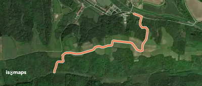
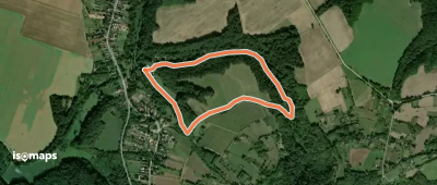
K+ (Palkonya)
K+ (Palkonya)

Palkonya, Hongrie

2,13 km +100 m 35min

Molto facile
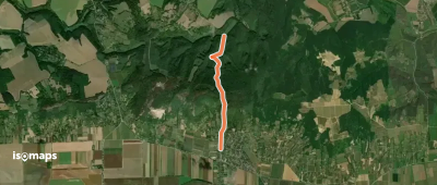
Csodabogyó tanösvény

Tenkes, Hongrie

6,10 km +292 m 1h 45min

Facile
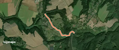
Z (Csarnóta – Kistótfalu)

Villányi-hegység, Hongrie

13,16 km +316 m 2h 55min

Facile
P↺ (Túrony)
P↺ (Túrony)

Túrony, Hongrie

2,38 km +70 m 30min

Molto facile
P■ (Máriagyűd – Siklós, aut. pu.)

Szabótanya, Hongrie

3,00 km +6 m 35min

Molto facile
S+ (Máriagyűd, autóbusz forduló – Bisse)

Szabótanya, Hongrie

3,10 km +220 m 1h 5min

Molto facile
S+ (Túrony)
S+ (Túrony)

Túrony, Hongrie

1,96 km +159 m 30min

Molto facile
K+ (Diósviszló, aut.m. – Hegyszentmárton üdülőfalu, S)

Alsópalajpuszta, Hongrie

5,84 km +43 m 1h 10min

Molto facile

Pronto per la tua prossima uscita?

Prova Isomaps gratis 7 giorni. Disponibile su iOS e Android.

Scarica su iOS Scarica su Android APK (senza Google)
Isomaps Le tue uscite outdoor, ovunque, anche offline
Installa Installa