3,514 itinerari in England. Trova il tuo prossimo percorso su Isomaps — mappe topo, GPS e profilo altimetrico.


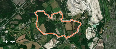
Brierley Hill, Royaume-Uni
2,71 km +53 m 35min
Molto facile


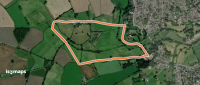
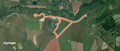
Egham, Royaume-Uni
3,93 km +27 m 50min
Molto facile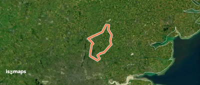


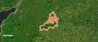

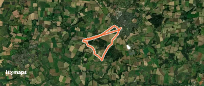
Whitstable, Royaume-Uni
40,69 km +468 m 9h 15min
Molto difficile
Chale, Royaume-Uni
6,76 km +268 m 1h 40min
Molto facile

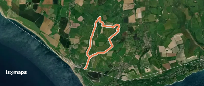
Bude, Royaume-Uni
24,63 km +1 257 m 8h 20min
Molto difficile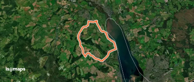
Prova Iso Maps gratis 7 giorni. Disponibile su iOS e Android.
