8 itinerari in Bayerischer Wald. Trova il tuo prossimo percorso su Isomaps — mappe topo, GPS e profilo altimetrico.
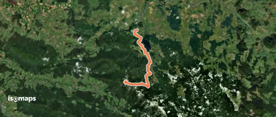
![[Ž] Zlatá Studna - Gsenget, hran. přech.](https://static-tiles.b-cdn.net/screenshots/screenshot_trace_638.webp)
Horní Kamenec, Tchéquie
27,50 km +1 055 m 6h 45min
Difficile
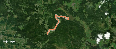
![[Ž] Zlatá stezka - Prachatická větev](https://static-tiles.b-cdn.net/screenshots/screenshot_trace_26140.webp)
Prova Isomaps gratis 7 giorni. Disponibile su iOS e Android.


