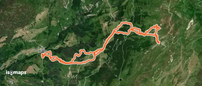
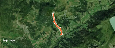
Beaufortain

84 itinerari in Beaufortain. Trova il tuo prossimo percorso su Isomaps — mappe topo, GPS e profilo altimetrico.
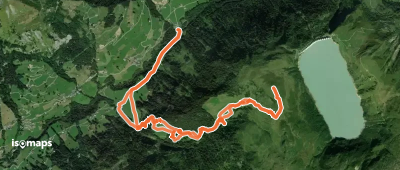
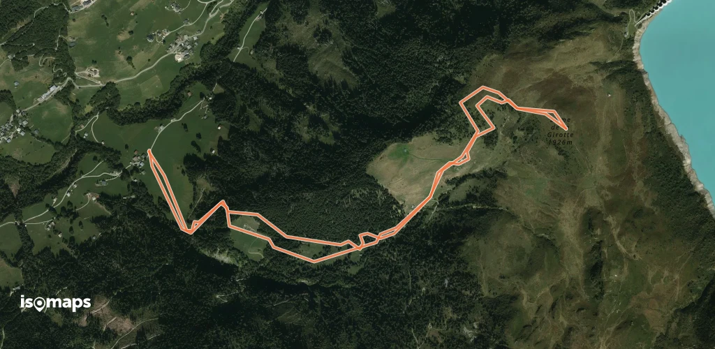
Dôme de la Girotte - Voie normale par la Montaz et la Commanderie

Belleville, France

8,50 km +938 m 3h 10min

Molto facile
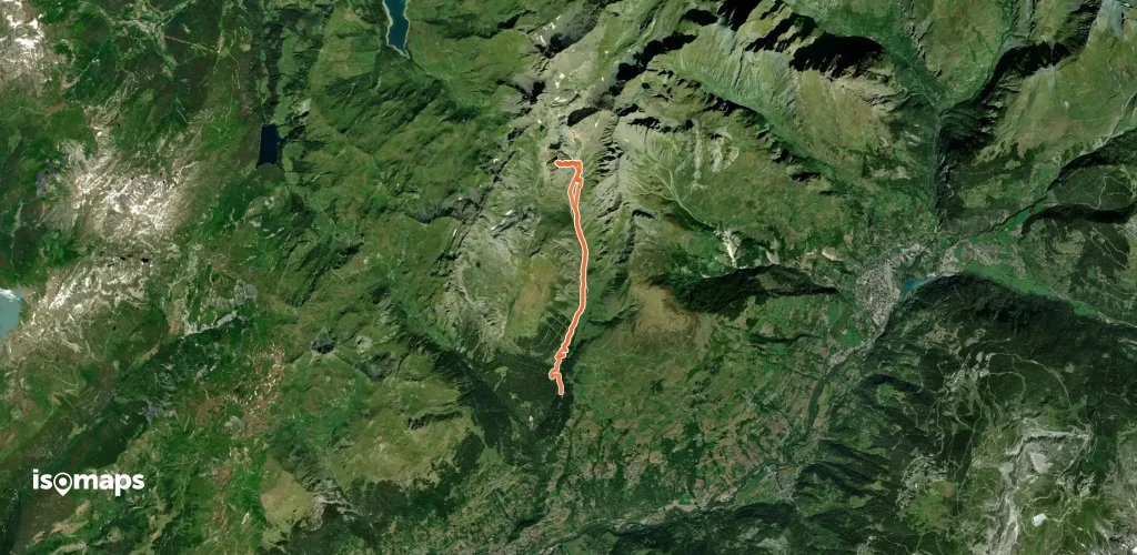
Brèche de Gargan, couloir E

Granier, France

13,73 km +1 714 m 4h 15min

Difficile
Dôme de la Girotte - Versant SW

, France

6,06 km +780 m 2h 25min

Facile
Monts Jovet - Combe NW

, France

13,70 km +1 260 m 4h 15min

Moderato
Pointe de la Grande Combe, Par les pistes

Le Planay, France

7,50 km +852 m 2h 35min

Molto facile
Pointe du Dzonfié, Tour horaire depuis Grand Naves

Naves, France

16,46 km +1 339 m 4h 40min

Moderato
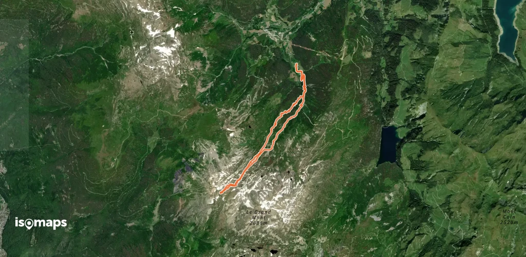
Pointe du Dard, face NE

Le Planay, France

11,10 km +1 242 m 3h 50min

Facile
Mont d'Arbois, par les pistes depuis le Bettex

Le Bettex, France

4,58 km +575 m 1h 45min

Molto facile
Montagne d'Outray - Croix - Versant NW

, France

9,67 km +1 200 m 4h 0min

Moderato
Mont Mirantin - Versant  E
Mont Mirantin - Versant E

, France

9,94 km +1 350 m 3h 45min

Moderato
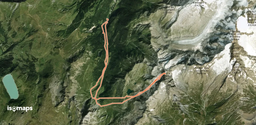
Mont Tondu - Pain de Sucre - Couloir SW

, France

18 m +2 000 m 5h 50min

Molto difficile
Roche Parstire, Versant Ouest (Pointe 2113m)

Arêches, France

11,60 km +1 274 m 3h 55min

Facile
Le Quermoz, depuis Grand Naves

Naves, France

10,20 km +1 108 m 3h 25min

Facile
Pointe du Col - depuis Granier via La Pesée

, France

14,00 km +1 000 m 3h 35min

Facile
Mont Clocher, face Sud Mont Clocher

Hauteluce, France

5,79 km +838 m 2h 20min

Molto facile
Pointe de la Grande Journée - Traversée S >> N

, France

11,70 km +1 360 m 4h 25min

Moderato
Mont Rosset - Versant S

, France

11,60 km +1 050 m 3h 30min

Facile

Pronto per la tua prossima uscita?

Prova Isomaps gratis 7 giorni. Disponibile su iOS e Android.

Scarica su iOS Scarica su Android APK (senza Google)
Isomaps Le tue uscite outdoor, ovunque, anche offline
Installa Installa