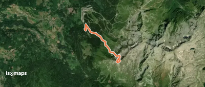
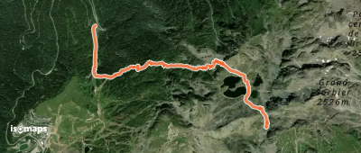
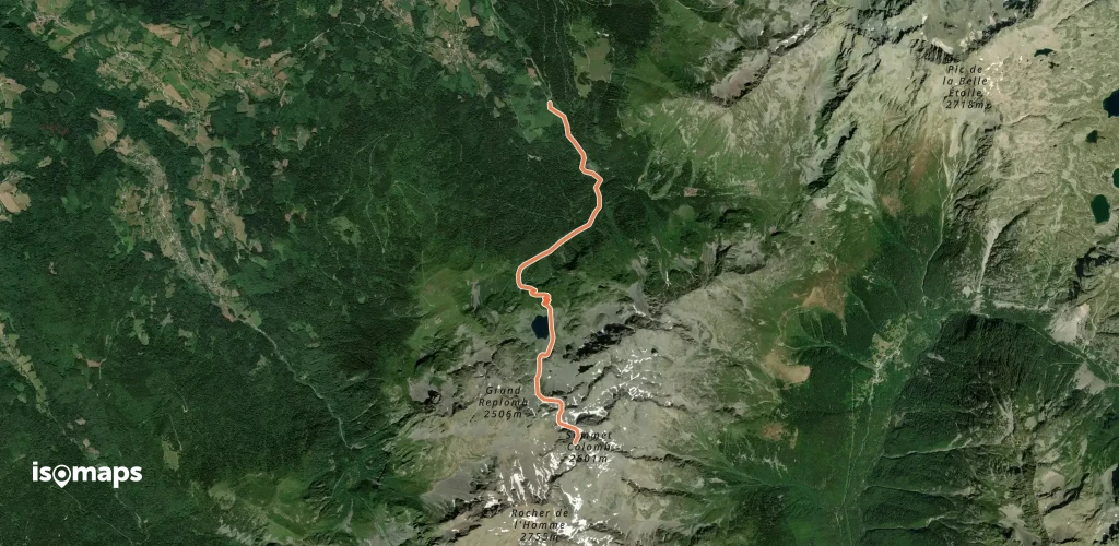
313 itinerari in Belledonne. Trova il tuo prossimo percorso su Isomaps — mappe topo, GPS e profilo altimetrico.
Rocher de l'Homme, France
13,22 km +1 500 m 4h 45min
ModeratoLa Boutière, France
20,03 km +1 350 m 9h 50min
Moderato
Rocher Blanc, France
9,60 km +1 200 m 2h 25min
ModeratoRocher de l'Homme, France
7,65 km +1 500 m 1h 5min
Molto difficile
Col de la Pointe Vaudaine, France
13,00 km +0 m 1h 10min
Moderato
Premier Chalet, France
2,90 km +1 050 m 35min
Molto difficile
Dent de la Prat, France
87 m +920 m 3h 10min
Difficile
Chamrousse, France
66,10 km +7 800 m 22h 35min
Difficile
Sommet Colomb, France
7,09 km +1 100 m 1h 25min
Moderato
Col de la Perrière, France
15,00 km +1 300 m 10min
Molto difficile
Les Sept Laux le Pleynet, France
12,74 km +1 300 m 4h 5min
Moderato
Bec d'Arguille, France
17,17 km +2 080 m 6h 20min
Moderato
La Boutière, France
12,68 km +1 800 m 6h 25min
Moderato
Refuge de la Combe Madame, France
8,86 km +1 878 m 4h 30min
Facile
Les Grands Moulins, France
9,11 km +850 m 2h 40min
ModeratoProva Iso Maps gratis 7 giorni. Disponibile su iOS e Android.