Alpes Bernoises

77 itinerari in Alpes Bernoises. Trova il tuo prossimo percorso su Isomaps — mappe topo, GPS e profilo altimetrico.
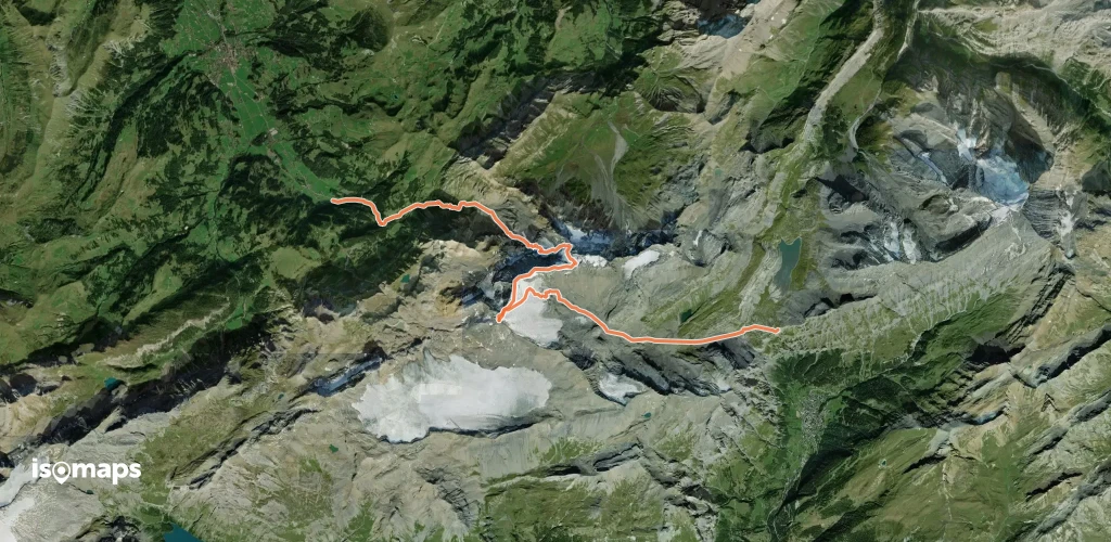
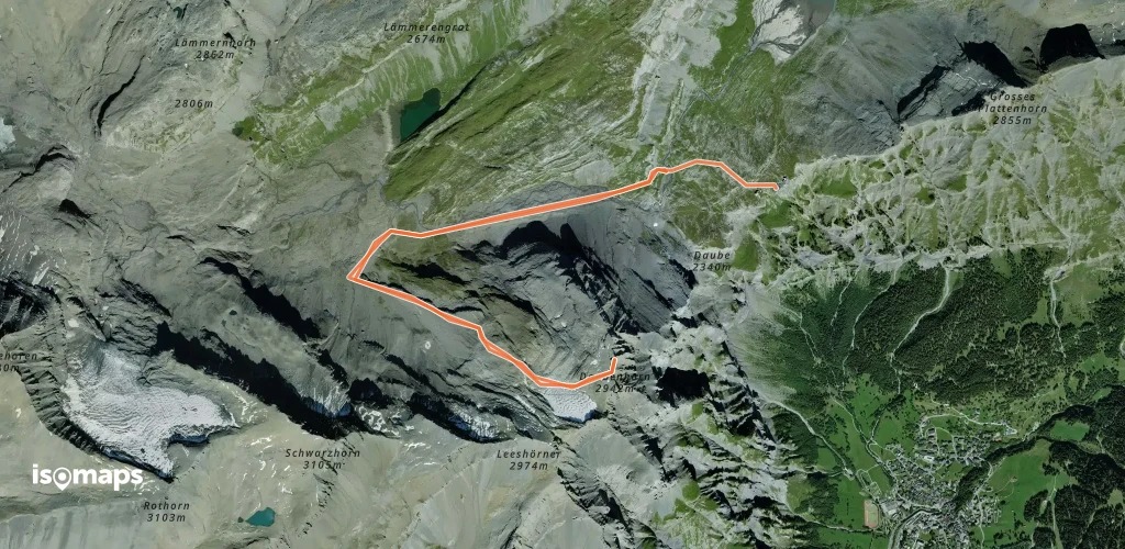
Daubenhorn - Versant NW, depuis la Gemmi

, Suisse

8,65 km +730 m 2h 30min

Facile
Klein/Chlys Öugstchummuhorn - Versant SE

Ranft, Switzerland

5,27 km +69 m 35min

Moderato
Baltschiederjoch - Depuis Blatten

Blatten, Switzerland

4,83 km +165 m 40min

Moderato
Klein Grünhorn - par l'arête W

, Suisse

16,04 km +1 060 m 3h 25min

Facile
Spirgilla - Par Raaft

Ranft, Suisse

12,23 km +1 458 m 2h 55min

Moderato
Schneehorepass - Versant NE

, Suisse

14,42 km +1 255 m 4h 35min

Difficile
Rauflihorn - Par le Raufli

, Suisse

8,07 km +1 000 m 3h 0min

Moderato
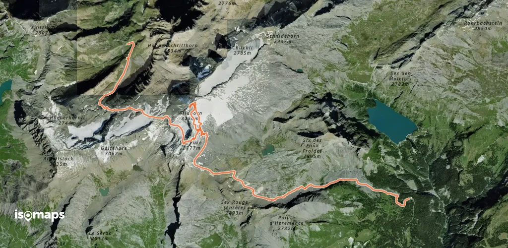
Wildhorn - Traversée Geltenhütte > Anzère

, Suisse

17,00 km +1 450 m 4h 35min

Moderato

Pronto per la tua prossima uscita?

Prova Isomaps gratis 7 giorni. Disponibile su iOS e Android.

Scarica su iOS Scarica su Android APK (senza Google)
Isomaps Le tue uscite outdoor, ovunque, anche offline
Installa Installa