10 itinerari in Préalpes apenzelloises. Trova il tuo prossimo percorso su Isomaps — mappe topo, GPS e profilo altimetrico.

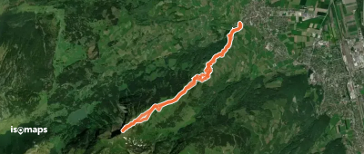
Malbun Untersäss, Switzerland
11,31 km +1 203 m 3h 45min
Moderato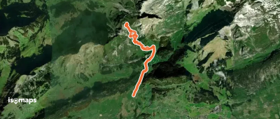
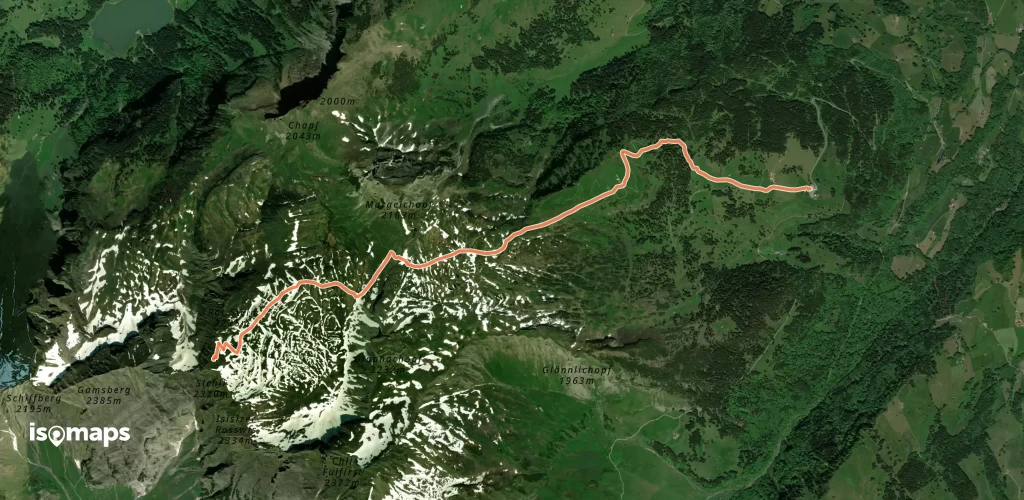
Unterwasser, Switzerland
8,75 km +891 m 2h 50min
Facile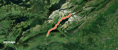
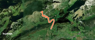
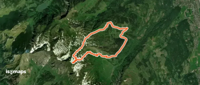
Unterwasser, Switzerland
9,79 km +983 m 3h 15min
Facile
Prova Isomaps gratis 7 giorni. Disponibile su iOS e Android.
