Offerta di lancio: abbonati entro il 12 luglio e blocca il tuo prezzo a vita. Vedi i prezzi

Valais W - Alpes Pennines W

12 itinerari in Valais W - Alpes Pennines W. Trova il tuo prossimo percorso su Isomaps — mappe topo, GPS e profilo altimetrico.
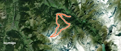
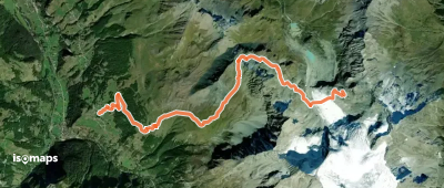
Mont Rogneux, boucle NE -> NW

Le Tailon, Switzerland

18,75 km +2 038 m 5h 40min

Moderato
Col de Bréona, Traversée W-E

La Forclaz, Switzerland

10,21 km +1 513 m 4h 15min

Facile
Pointe de Bricola, Normale

La Forclaz, Switzerland

11,47 km +1 026 m 3h 15min

Facile
Mont Mort, Face E
Mont Mort, Face E

Tunel Gd. St. Bernard, Switzerland

12,49 km +1 042 m 3h 20min

Moderato
Mont Brulé (ou Braoulé), face N centrale

Tsijiore Nouve, Switzerland

18,06 km +1 724 m 5h 20min

Molto difficile
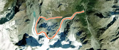
Pte N de Tsena Refien, Couloir Tordu

Tsijiore Nouve, Switzerland

10,52 km +1 172 m 3h 35min

Difficile
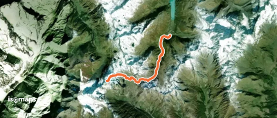
Mont Fourchon, combe Est depuis Bourg St -Bernard

Tunel Gd. St. Bernard, Switzerland

18,20 km +1 285 m 4h 20min

Facile
Tête de Ferret, par la Peule

La Fouly, Switzerland

15,81 km +1 186 m 4h 15min

Facile

Pronto per la tua prossima uscita?

Prova Isomaps gratis 7 giorni. Disponibile su iOS e Android.

Scarica su iOS Scarica su Android APK (senza Google)
Isomaps Le tue uscite outdoor, ovunque, anche offline
Installa Installa