189 itinerari in Valais W - Alpes Pennines W. Trova il tuo prossimo percorso su Isomaps — mappe topo, GPS e profilo altimetrico.
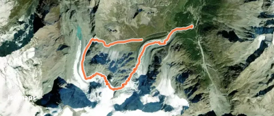
Tsijiore Nouve, Switzerland
10,52 km +1 172 m 3h 35min
Difficile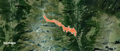
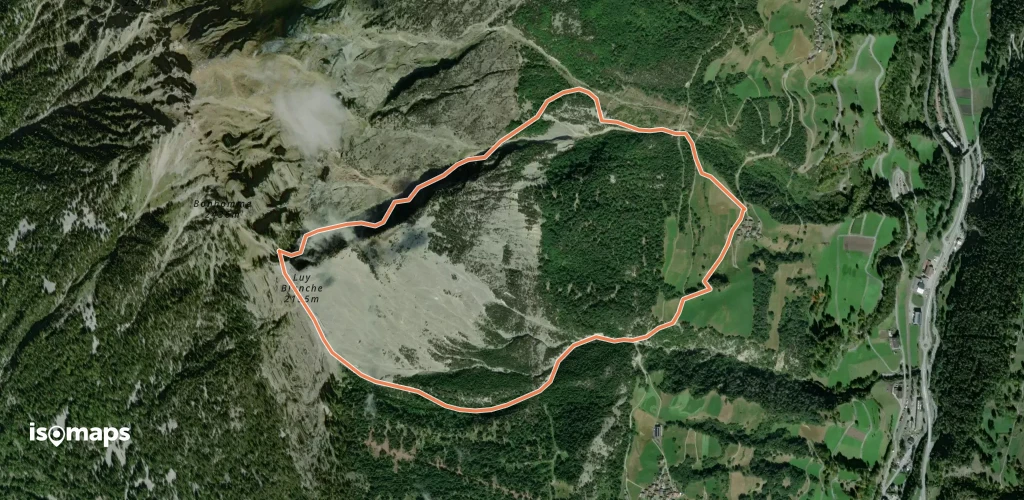
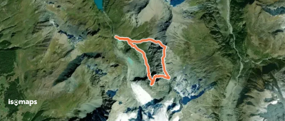
Alpetjini, Switzerland
4,07 km +80 m 1h 0min
Moderato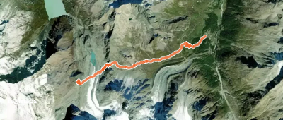
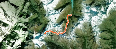
Aiguilles de la Lé, Switzerland
6,62 km +893 m 2h 30min
Moderato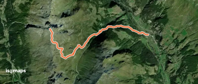
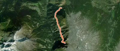
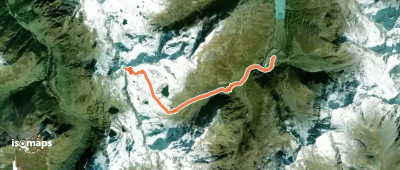
Tunel Gd. St. Bernard, Switzerland
18,20 km +1 285 m 4h 20min
Facile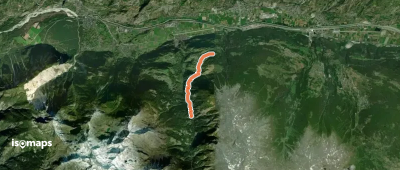
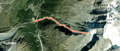
Pointe des Lacerandes, Switzerland
5,88 km +1 018 m 3h 0min
Facile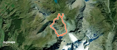
Couronne de Bréona, Switzerland
7,74 km +1 095 m 2h 45min
Moderato
La Maya, Switzerland
3,31 km +57 m 25min
DifficileProva Iso Maps gratis 7 giorni. Disponibile su iOS e Android.
