227 Touren in Belledonne. Finden Sie Ihre nächste Route auf Isomaps — Topokarten, GPS und Höhenprofil.
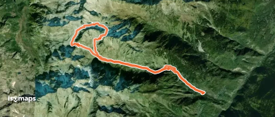
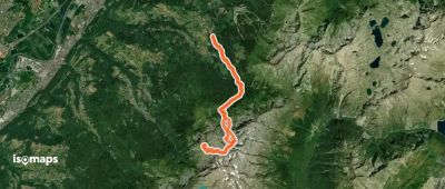
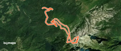
Saint-Alban-des-Villards, France
14,70 km +1 703 m 5h 15min
Einfach
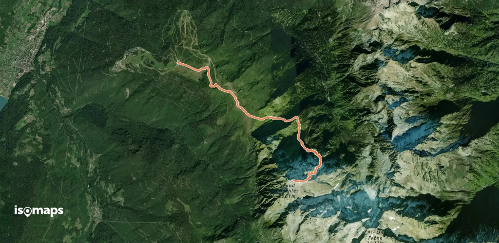
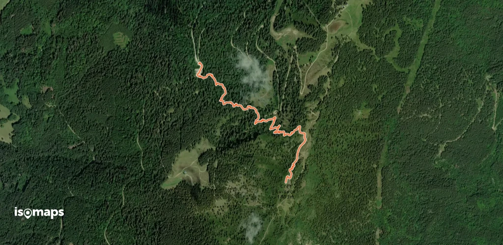
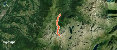
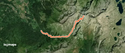
Super Collet, France
8,03 km +1 439 m 3h 40min
Schwer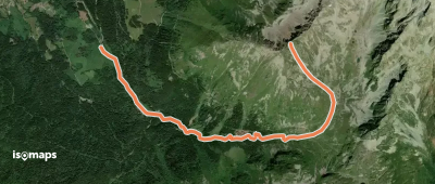
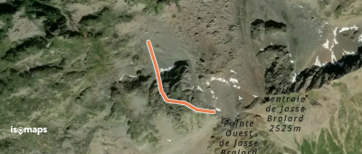
Grand Crest, France
2,22 km +402 m 1h 0min
Sehr einfach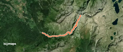

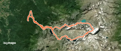
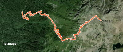
Les Sept Laux le Pleynet, France
12,74 km +1 775 m 4h 5min
Mittel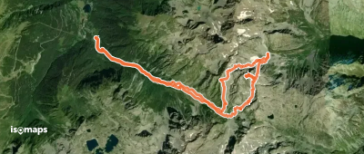
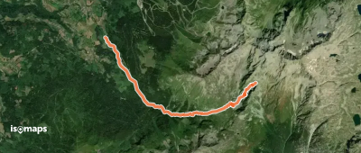
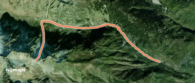
Bec d'Arguille, France
17,17 km +2 264 m 6h 20min
Mittel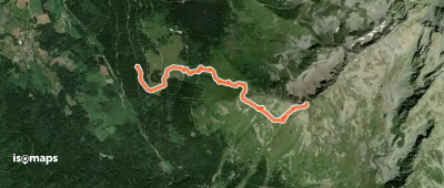


Testen Sie Isomaps 7 Tage kostenlos. Verfügbar für iOS und Android.
