227 Touren in Belledonne. Finden Sie Ihre nächste Route auf Isomaps — Topokarten, GPS und Höhenprofil.
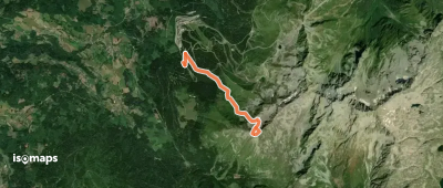
Montagne du Muret, France
3,73 km +960 m 55min
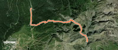
Chamrousse, France
4,93 km +872 m 2h 25min
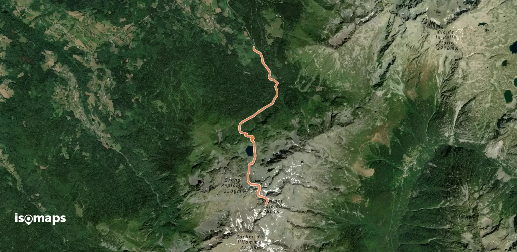
La Boutière, France
6,00 km +1 562 m 3h 35min
Testen Sie Isomaps 7 Tage kostenlos. Verfügbar für iOS und Android.