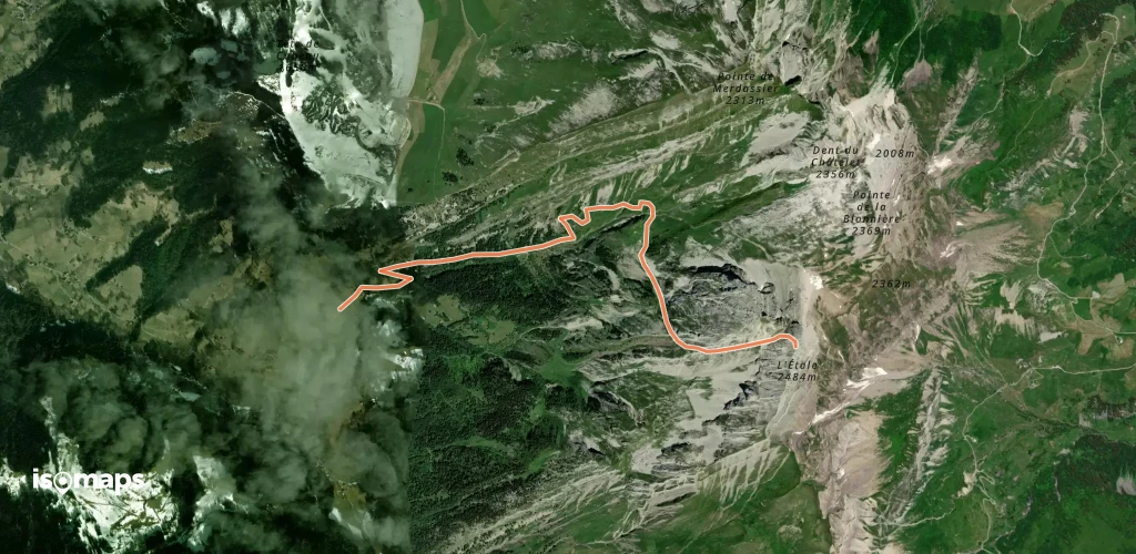
115 Touren in Bornes - Aravis. Finden Sie Ihre nächste Route auf Isomaps — Topokarten, GPS und Höhenprofil.
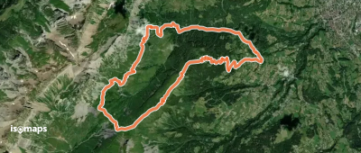
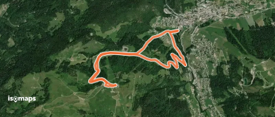
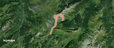
La Miaz, France
14,00 km +1 133 m 4h 0min
Sehr einfach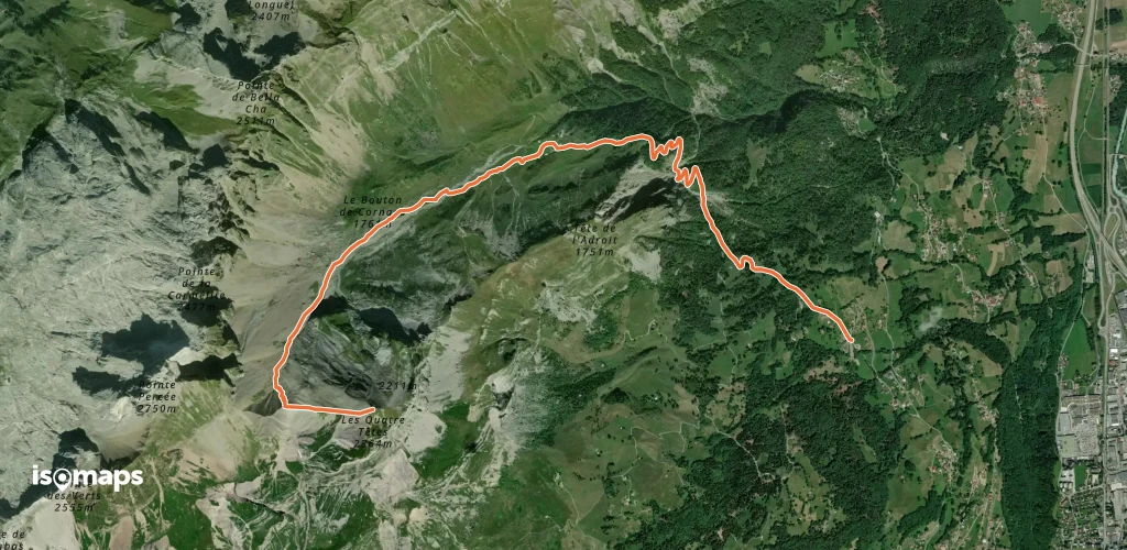

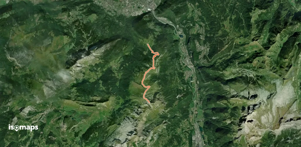
Les Confins, France
7,51 km +1 053 m 3h 0min
Mittel
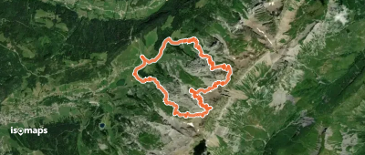
Les Confins, France
5,56 km +931 m 2h 45min
Einfach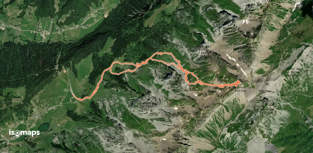
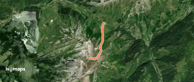
, France
7,26 km +643 m 2h 0min
Sehr einfach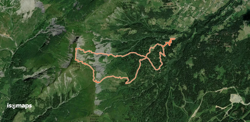
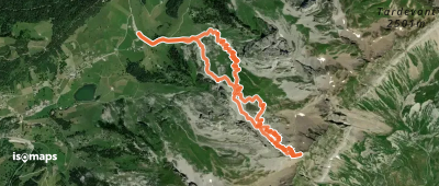
Pic De Jalouvre (Pointe Blanche), France
8,98 km +1 243 m 3h 30min
Mittel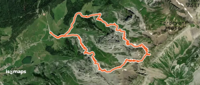
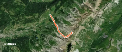
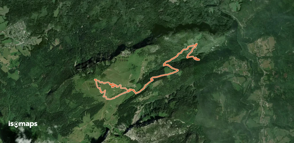
Tête de Paccaly, France
10,15 km +1 219 m 3h 25min
Mittel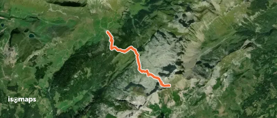

Nancy-sur-Cluses, France
8,59 km +1 291 m 3h 30min
Einfach

Tête Pelouse, France
13,02 km +1 612 m 4h 45min
MittelTesten Sie Isomaps 7 Tage kostenlos. Verfügbar für iOS und Android.
