Bornes - Aravis

143 Touren in Bornes - Aravis. Finden Sie Ihre nächste Route auf Isomaps — Topokarten, GPS und Höhenprofil.
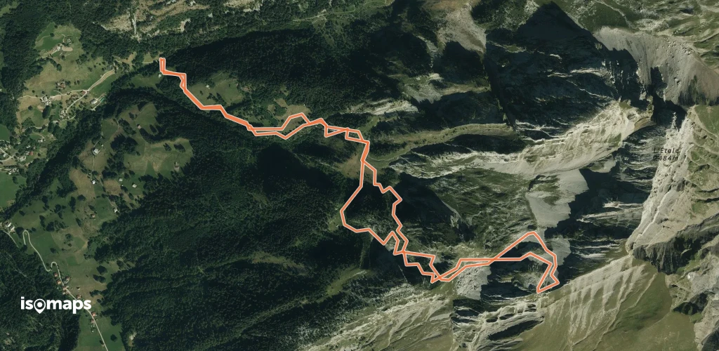
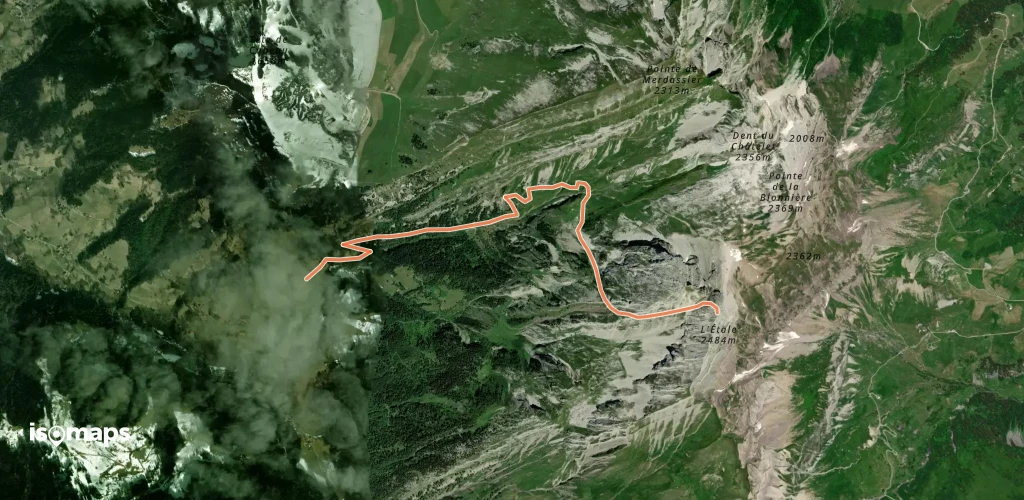
L'Étale - Pointe 2266 m - Face N

, France

6,50 km +1 076 m 1h 15min

Mittel
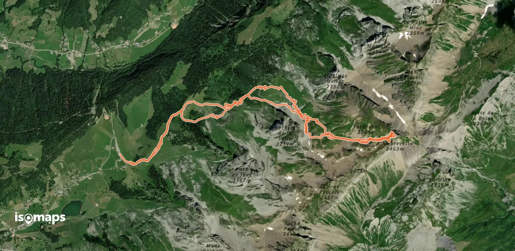
Ambrevetta, Combe de Tardevant

Les Confins, France

11,45 km +1 212 m 3h 40min

Einfach
Tête Pelouse - Par la Combe de Bella Cha

La Roualle, France

4,09 km +1 058 m 2h 55min

Einfach
La Tour du Bargy - Rampe E

, France

2,67 km +950 m 30min

Mittel
Pointe de Talamarche - Couloir W

, France

9,34 km +1 077 m 3h 25min

Schwer
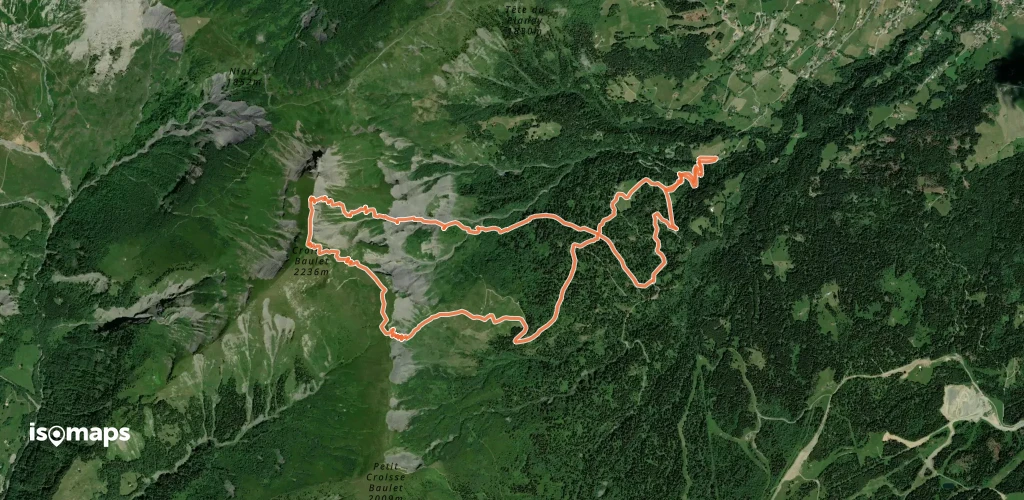
Croisse Baulet, De Cordon par le Col de l'Avenaz

Cordon, France

9,96 km +1 157 m 3h 25min

Einfach
Tête Pelouse - Par la combe de Grand Crêt

Tête Pelouse, France

8,06 km +1 124 m 3h 25min

Einfach
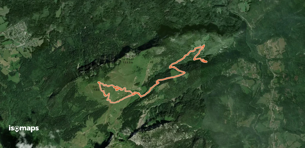
Sur Cou, Face Est
Sur Cou, Face Est

Termine, France

10,91 km +1 165 m 3h 5min

Einfach
Pointes du Midi - Circuit du Cu Déri

Pic De Jalouvre (Pointe Blanche), France

8,98 km +1 243 m 3h 30min

Mittel
Trou de la Mouche - Boucle  Paccaly >> Grand Crêt
Trou de la Mouche - Boucle Paccaly >> Grand Crêt

Tête de Paccaly, France

10,15 km +1 219 m 3h 25min

Mittel
Pointe de Merdassier - Face NW

, France

5,61 km +813 m 2h 20min

Mittel
Col des Verts - Par le col des Annes

Pointe des Verts, France

8,43 km +780 m 2h 40min

Einfach
Col de Balafrasse - Par la Combe de Sotty

, France

9,28 km +1 000 m 3h 10min

Mittel
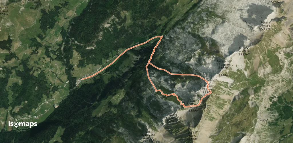
Mont Charvet, combe du Charvet

, France

8,15 km +1 100 m 4h 5min

Einfach
Aiguilles du Mont Est, Les farfadets

, France

10,25 km +1 400 m 3h 50min

Sehr schwer
Blonnière, La Gorge
Blonnière, La Gorge

Col des Aravis, France

2,45 km +836 m 1h 25min

Sehr schwer
Mont Charvet (Aravis) - Face W - depuis les Troncs

Charvet, France

9,00 km +1 415 m 3h 40min

Mittel
L'Etale, Coillu à Bordel

La Charmette, France

4,33 km +1 324 m 2h 45min

Schwer

Bereit für Ihren nächsten Ausflug?

Testen Sie Isomaps 7 Tage kostenlos. Verfügbar für iOS und Android.

Für iOS herunterladen Für Android herunterladen APK (ohne Google)
Isomaps Deine Outdoor-Touren, überall, auch offline
Installieren Installieren