52 Touren in Vercors. Finden Sie Ihre nächste Route auf Isomaps — Topokarten, GPS und Höhenprofil.
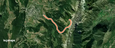
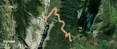
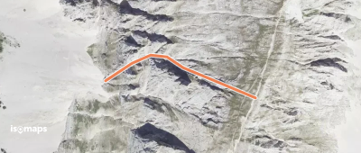
Le Balcon de Villard, France
4,32 km +822 m 2h 10min
Einfach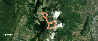
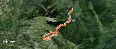
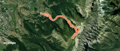
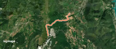
Chichilianne, France
11,61 km +1 068 m 3h 30min
Einfach
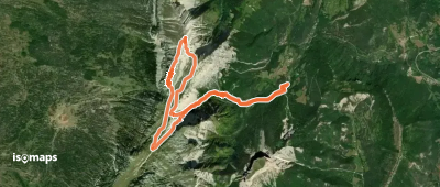
Saint-Nizier-du-Moucherotte, France
2,48 km +608 m 1h 40min
Sehr einfach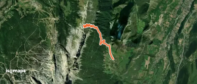

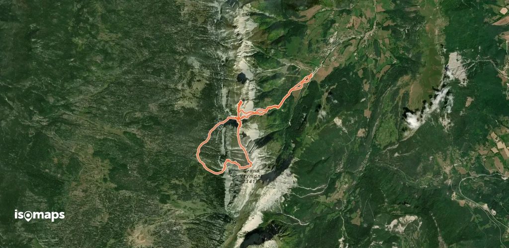
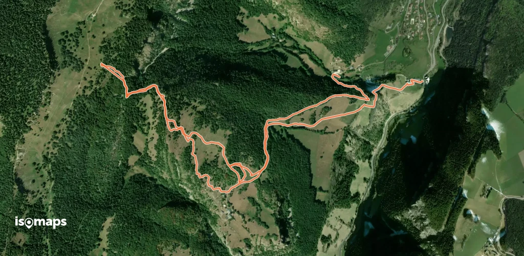
La Ville, France
12,49 km +1 565 m 4h 50min
Mittel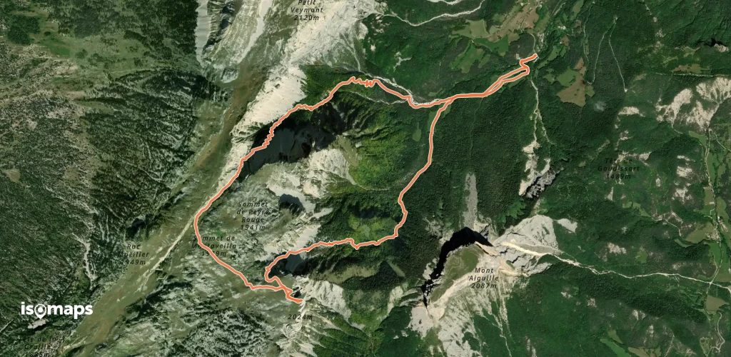
Pellas, France
11,04 km +1 038 m 3h 25min
Einfach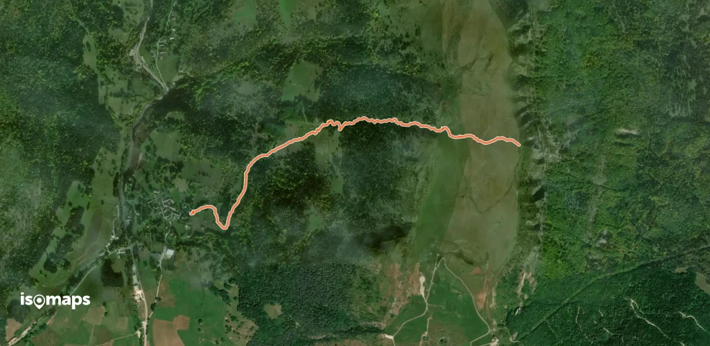

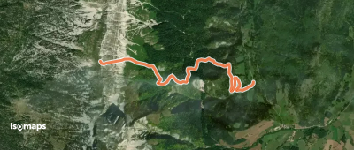
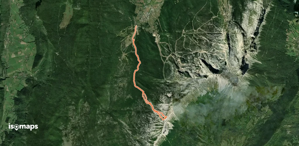
Col de Menée, France
9,77 km +1 129 m 3h 10min
Mittel

Testen Sie Isomaps 7 Tage kostenlos. Verfügbar für iOS und Android.
