52 Touren in Vercors. Finden Sie Ihre nächste Route auf Isomaps — Topokarten, GPS und Höhenprofil.

Le Moucherotte, France
8,31 km +779 m 2h 30min
Sehr einfach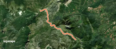
Tête des Baumiers, France
12,43 km +473 m 2h 25min
Mittel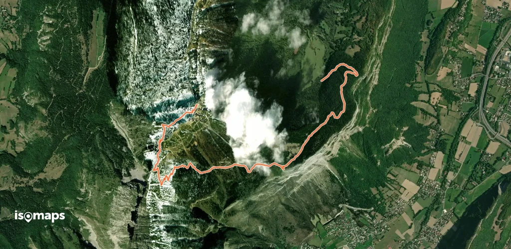
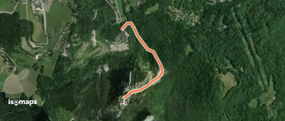
Montagnes de Lans, France
4,80 km +574 m 1h 45min
Sehr einfach

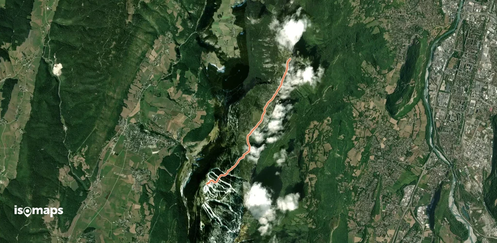
Col de l'Arzelier, France
1,24 km +359 m 35min
EinfachTesten Sie Isomaps 7 Tage kostenlos. Verfügbar für iOS und Android.
