Hiking in the Hautes-Alpes

1,799 trails · 1799 total activities recorded

Map of Hautes-Alpes

The Hautes-Alpes pack into 5,549 km² some of the finest French Alpine massifs: the Écrins (south side), the Queyras with its villages perched above 2,000 m, the Devoluy with its unique karst landscape, and the Cerces near Briançon. The Barre des Écrins (4,102 m) culminates in Isère but the massif extends widely. Major trails: GR 54 (Tour de l'Oisans-Écrins), GR 58 (Tour du Queyras), GR 653D.

Access is via Gap or Briançon, mainly by TER from Marseille or Grenoble. Briançon, the highest fortified town in Europe (UNESCO), is the ideal base for the Queyras and the southern Écrins.

Best season: mid-June to late October. The dry, sunny climate of the Hautes-Alpes (300 sunny days a year in the Queyras) extends the hiking season compared to the rest of the Alps. Be aware of afternoon thunderstorms in midsummer and possible snowfalls from mid-September at altitude. Always check the forecast in high terrain.

The 647 routes we offer cover the entire region, from family walks in the Devoluy to committing traverses of the Tour des Écrins.
Top trails

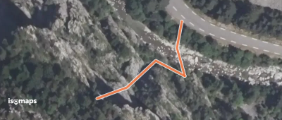
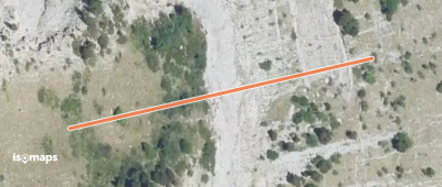
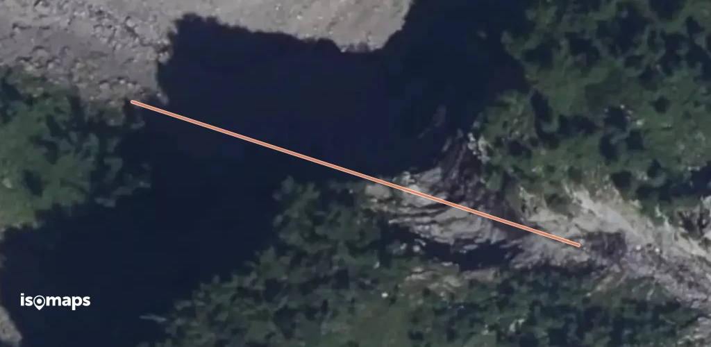
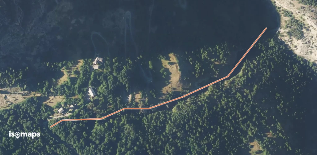
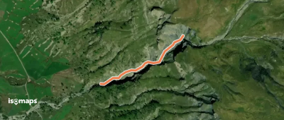
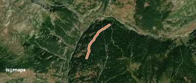
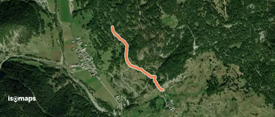
La Vaute Les Maisons - Le Millan

Arvieux, France

895 m +33 m 30min

Very easy
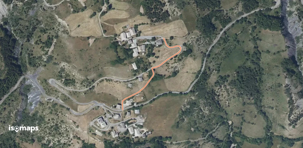
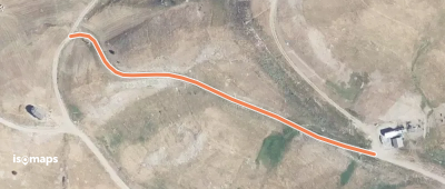
La Pauzette - Télésiège des Cassettes

Saint-Véran, France

258 m +23 m 5min

Very easy
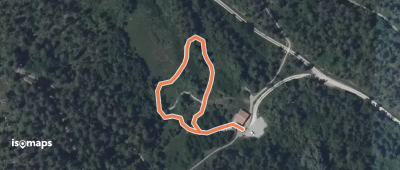
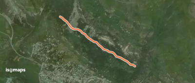
Cabane des Douaniers - Lac des Sarailles

Mont Chenaillet, France

576 m +1 m 15min

Very easy
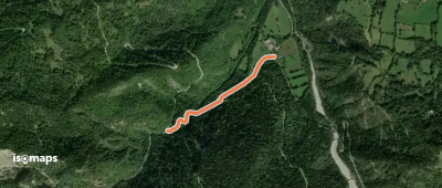
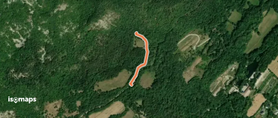
Les Aubergens - Col des Combes

Le Plan, France

888 m +4 m 15min

Very easy
La Casse - Le Belvédère

Châteauroux-les-Alpes, France

715 m +31 m 30min

Very easy
La Chalp - La Chalp Le Rivet

Arvieux, France

165 m +6 m 5min

Very easy
Le Ponteil - Torrent de Tramouillon

Le Ponteil, France

682 m +229 m 10min

Moderate
Prapic - Cascade du Torrent de Pisse Bernard

Prapic, France

491 m +0 m 5min

Moderate
Sentier de la Clairière aux Papillons

Rochers de Bouzon, France

253 m +3 m 5min

Very easy
Naune Raze - Parking des Chirouzes

Les Bonjours, France

253 m +23 m 5min

Very easy
Le Grand Pré - Prévaliere

Chorges, France

252 m +0 m 5min

Very easy
Les Bras - Sagne Brune

Saint-Apollinaire, France

456 m +2 m 10min

Very easy
Les Faysses - Les Bras

Saint-Apollinaire, France

723 m +36 m 15min

Very easy
Pont Haut - ?
Pont Haut - ?

Champ-Didier, France

687 m +101 m 20min

Very easy
Côte La Combe - ?
Côte La Combe - ?

Saint-Léger-les-Mélèzes, France

210 m +14 m 5min

Very easy
La Gasque - ?
La Gasque - ?

Abriès, France

1,21 km +40 m 40min

Very easy
École du Bas Forest - Le Haut Forest

Les Orres, France

337 m +47 m 10min

Very easy
Champ Bacoup - Côte Cibert

Le Monêtier-les-Bains, France

1,29 km +59 m 50min

Very easy
Clairière de l'Écluse - Ecluse de l'Oeuf

Le Clot de Charance, France

315 m +2 m 10min

Very easy

Ready for your next adventure?

Try Isomaps free for 7 days. Available on iOS and Android.

Download on iOS Download on Android APK (Google-free)
Isomaps Your outdoor outings, anywhere, even offline
Install Install