Hiking in the Hautes-Alpes

1,799 trails · 1799 total activities recorded

Map of Hautes-Alpes

The Hautes-Alpes pack into 5,549 km² some of the finest French Alpine massifs: the Écrins (south side), the Queyras with its villages perched above 2,000 m, the Devoluy with its unique karst landscape, and the Cerces near Briançon. The Barre des Écrins (4,102 m) culminates in Isère but the massif extends widely. Major trails: GR 54 (Tour de l'Oisans-Écrins), GR 58 (Tour du Queyras), GR 653D.

Access is via Gap or Briançon, mainly by TER from Marseille or Grenoble. Briançon, the highest fortified town in Europe (UNESCO), is the ideal base for the Queyras and the southern Écrins.

Best season: mid-June to late October. The dry, sunny climate of the Hautes-Alpes (300 sunny days a year in the Queyras) extends the hiking season compared to the rest of the Alps. Be aware of afternoon thunderstorms in midsummer and possible snowfalls from mid-September at altitude. Always check the forecast in high terrain.

The 647 routes we offer cover the entire region, from family walks in the Devoluy to committing traverses of the Tour des Écrins.
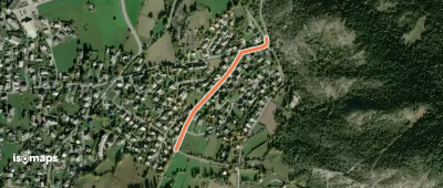
Top trails

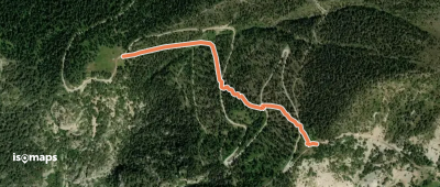
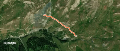
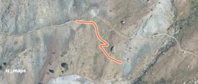
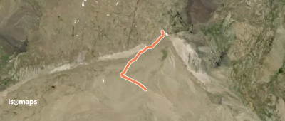
Fontaine Rouge - Fontantie

Queyras, France

844 m +154 m 25min

Very easy
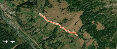
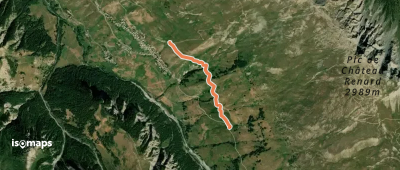
Le Chazal - La Viste

Guillestre, France

463 m +10 m 5min

Very easy
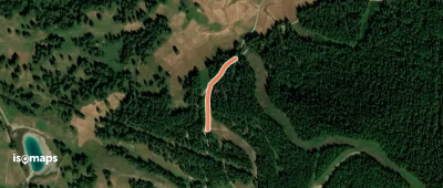
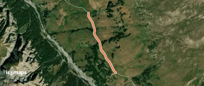
Le Grand Pré - Forêt de Combe Chauve

Sommet de Cugulet, France

828 m +177 m 25min

Very easy
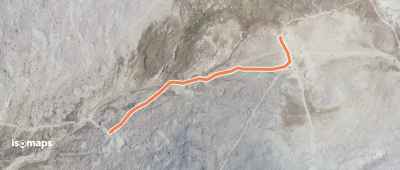
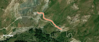
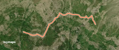
Ruines de Patarel - Sous l'Étang de Moussou

Abriès, France

1,09 km +102 m 35min

Very easy
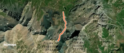
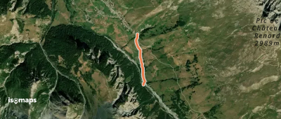
Blanche - Col de la Noire

Pic de la Farneiréta, France

1,78 km +10 m 50min

Very easy
Col de Chamoussière - ?

Il Pelvo, France

196 m +47 m 5min

Very easy
Grand Canal Mine de Cuivre - Le Grand Canal

Le Queyron, France

958 m +31 m 35min

Very easy
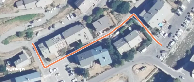
Abriès l'Adroit - Avenue du Bouchet

Abriès, France

151 m +7 m 5min

Very easy
Saint-Véran Sainte-Luce - Pont Vieux

Saint-Véran, France

1,04 km +18 m 25min

Very easy
Bois de l'Ubac - Bois des Amoureux

Pierre-Grosse, France

251 m +1 m 5min

Very easy
Grand Canal Mine de Cuivre - Poudrière

Le Queyron, France

135 m +0 m 5min

Very easy
Draye de Ville - Teleski de Pré Géant

Saint-Véran, France

1,70 km +72 m 50min

Very easy
Le Paret - Teleski de Pré Géant

Saint-Véran, France

879 m +1 m 20min

Very easy
Teleski de Pré Géant - Oratoire Saint-Antoine

Pointe des Avers, France

902 m +9 m 20min

Very easy
Carrière de Marbre - Treuil

Le Queyron, France

462 m +29 m 20min

Very easy
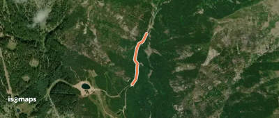
Col de Côte-Longue - Cabane des Parisiens

Vieux Chaillol, France

446 m +34 m 10min

Very easy
Le Chevalet - La Grande Bàume

Sommet du Palastre, France

1,13 km +31 m 45min

Very easy
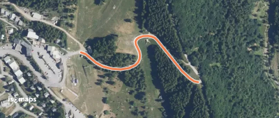
Chaillol Station - Coustaille

Les Marrons, France

415 m +0 m 5min

Very easy
Les Cabanes - Lou Devés

Les Marrons, France

553 m +37 m 10min

Very easy
Canal de Malcros - Peyre Gerle

Chaillolet, France

345 m +1 m 5min

Very easy
Canal de Malcros - Ferme Couquette

Chaillolet, France

420 m +10 m 10min

Very easy
Pont des Marrons - Pra du Naïs

Saint-Michel, France

240 m +2 m 5min

Very easy
Les Champets - Le Mourard

Chabottes, France

1,25 km +42 m 20min

Very easy
La Chanarette - Les Rissents

Buissard, France

444 m +8 m 5min

Very easy

Ready for your next adventure?

Try Isomaps free for 7 days. Available on iOS and Android.

Download on iOS Download on Android APK (Google-free)
Isomaps Your outdoor outings, anywhere, even offline
Install Install