Hiking in the Hautes-Alpes

1,799 trails · 1799 total activities recorded

Map of Hautes-Alpes

The Hautes-Alpes pack into 5,549 km² some of the finest French Alpine massifs: the Écrins (south side), the Queyras with its villages perched above 2,000 m, the Devoluy with its unique karst landscape, and the Cerces near Briançon. The Barre des Écrins (4,102 m) culminates in Isère but the massif extends widely. Major trails: GR 54 (Tour de l'Oisans-Écrins), GR 58 (Tour du Queyras), GR 653D.

Access is via Gap or Briançon, mainly by TER from Marseille or Grenoble. Briançon, the highest fortified town in Europe (UNESCO), is the ideal base for the Queyras and the southern Écrins.

Best season: mid-June to late October. The dry, sunny climate of the Hautes-Alpes (300 sunny days a year in the Queyras) extends the hiking season compared to the rest of the Alps. Be aware of afternoon thunderstorms in midsummer and possible snowfalls from mid-September at altitude. Always check the forecast in high terrain.

The 647 routes we offer cover the entire region, from family walks in the Devoluy to committing traverses of the Tour des Écrins.
Top trails

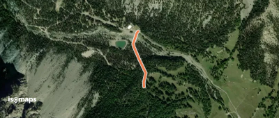
Cheminée de Fée - ?
Cheminée de Fée - ?

Col des Thures, France

467 m +9 m 15min

Very easy
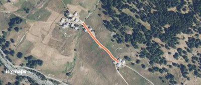
Laval - Pont du Moutet

Chalets du Jadis, France

230 m +3 m 5min

Very easy
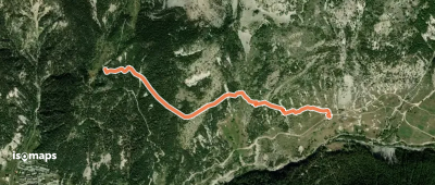
Microcentrale - Combe Jaune

L'Aiguille Rouge, France

744 m +87 m 15min

Very easy
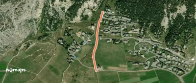
La Tailla - Lac Long

Col de la Madeleine, France

1,73 km +11 m 55min

Very easy
Lac Long - Lac Rond
Lac Long - Lac Rond

Col de la Madeleine, France

1,23 km +46 m 35min

Very easy
Granges Vallée Étroite - Les Renforts

Punta Gasparre, France

119 m +10 m 5min

Very easy
Chapelle Ste Barbe - Ruisseau de Biaume

Le Verney, France

157 m +3 m 5min

Very easy
Camping de Foncouverte - Refuge du Chardonnet

Chalets du Jadis, France

2,38 km +12 m 1h 10min

Very easy
? - ?
? - ?

Champ-Didier, France

346 m +25 m 5min

Very easy
Lac des Sagnes - ?
Lac des Sagnes - ?

Champ-Didier, France

782 m +109 m 20min

Very easy
Bois du Planet - Le Planet

Brunissard, France

290 m +6 m 5min

Very easy
La Rua des Chalmettes - Les Chalmettes

Les Chalmettes, France

176 m +2 m 5min

Very easy
Aiguillettes - Le Villard Chapelle Sainte-Barbe

Ceillac, France

1,77 km +31 m 55min

Very easy
Le Queyras - Eglise Sainte-Cécile

Ceillac, France

420 m +59 m 10min

Very easy
Col de Clausis - Col Albert

Col Tronchet, France

1,61 km +89 m 50min

Very easy
Le Bréou - Parking les Claux

Rioufenc, France

915 m +100 m 25min

Very easy
Bergerie du Bois Noir - Cabane de la Lavine

Rioufenc, France

1,17 km +98 m 25min

Very easy
Vallon de Riou Vert - L'Arsenne

Sommet de Ruine Blanche, France

2,62 km +15 m 1h 15min

Very easy
Col des Ayes - L'Eychaillon

Chalets de l'Eychaillon, France

1,70 km +5 m 55min

Very easy
Lac du Lauzon - Vallon de Combe Bonne

Col de Néal, France

2,61 km +9 m 1h 15min

Very easy
Le Queyron Clos la Chalp - Villargaudin L'Auche

Le Veyer, France

2,36 km +33 m 1h 15min

Very easy
OSM Route 16552634
OSM Route 16552634

Col de Bousson, Italie

1,37 km +25 m 35min

Very easy
OSM Route 13617935
OSM Route 13617935

Col Saint-Martin, Italie

1,25 km +104 m 45min

Very easy
Col des Méandes - Vallon du Diner

Roche del Serous, France

485 m +120 m 15min

Very easy

Ready for your next adventure?

Try Isomaps free for 7 days. Available on iOS and Android.

Download on iOS Download on Android APK (Google-free)
Isomaps Your outdoor outings, anywhere, even offline
Install Install