Hiking in the Hautes-Alpes

1,799 trails · 1799 total activities recorded

Map of Hautes-Alpes

The Hautes-Alpes pack into 5,549 km² some of the finest French Alpine massifs: the Écrins (south side), the Queyras with its villages perched above 2,000 m, the Devoluy with its unique karst landscape, and the Cerces near Briançon. The Barre des Écrins (4,102 m) culminates in Isère but the massif extends widely. Major trails: GR 54 (Tour de l'Oisans-Écrins), GR 58 (Tour du Queyras), GR 653D.

Access is via Gap or Briançon, mainly by TER from Marseille or Grenoble. Briançon, the highest fortified town in Europe (UNESCO), is the ideal base for the Queyras and the southern Écrins.

Best season: mid-June to late October. The dry, sunny climate of the Hautes-Alpes (300 sunny days a year in the Queyras) extends the hiking season compared to the rest of the Alps. Be aware of afternoon thunderstorms in midsummer and possible snowfalls from mid-September at altitude. Always check the forecast in high terrain.

The 647 routes we offer cover the entire region, from family walks in the Devoluy to committing traverses of the Tour des Écrins.
Top trails

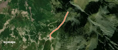
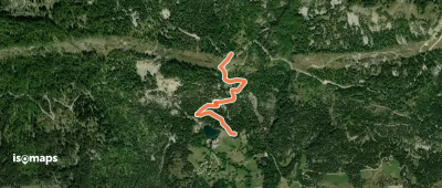
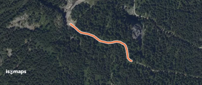
Cime du Mélezet - Pied du Mélezet

Cime du Mélézet, France

1,26 km +1 m 20min

Very easy
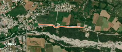
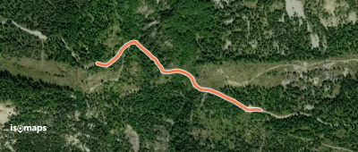
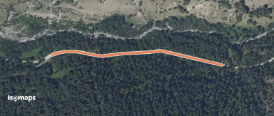
Baie Saint-Michel - Rougon

Prunières, France

236 m +4 m 5min

Very easy
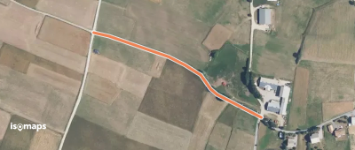
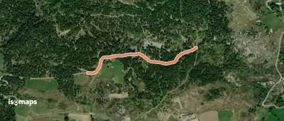
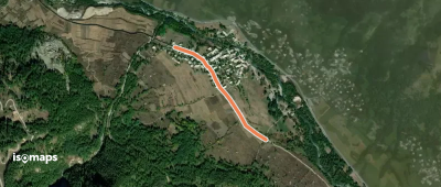
La Chabane - La Plaine

Pointe de Fleurendon, France

381 m +40 m 10min

Very easy
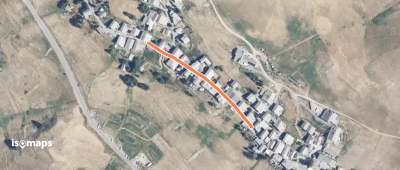
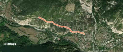
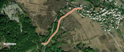
Chabottes - Le Moulin

Ancelle, France

515 m +16 m 5min

Very easy
Le Sarret - ?
Le Sarret - ?

Ancelle, France

367 m +0 m 5min

Very easy
Le Chatelet - Les Forannes

Saint-Véran, France

228 m +17 m 5min

Very easy
Lac de Saint-Apollinaire - Plate Longue

Saint-Apollinaire, France

1,09 km +8 m 35min

Very easy
Jigoure - Plate Longue

Saint-Apollinaire, France

757 m +63 m 30min

Very easy
Chambéran - Les Faysses

Saint-Apollinaire, France

606 m +35 m 15min

Very easy
Saint-Apollinaire Haut - Chambéran

Saint-Apollinaire, France

553 m +5 m 20min

Very easy
Coueiman - ?
Coueiman - ?

Le Plan-des-Léothauds, France

1,50 km +44 m 35min

Very easy
Rif Cros - ?
Rif Cros - ?

Les Vigneaux, France

1,15 km +133 m 30min

Very easy
Jérusalem - Sources de Jérusalem

Montagne de Mazelière, France

267 m +12 m 10min

Very easy
Les Ribettes - Route du Grand Vallon

Les Orres, France

430 m +47 m 10min

Very easy
Route du Grand Vallon - ?

Les Orres, France

813 m +104 m 25min

Very easy
Labessia - Mandoulines

Les Guibertes, France

825 m +30 m 10min

Very easy
Labessia - Pra Varet

Le Monêtier-les-Bains, France

639 m +71 m 15min

Very easy
Le Casset - Pré Poncet

Le Casset, France

186 m +1 m 5min

Very easy
Clot de la Selle - ?

Le Casset, France

182 m +11 m 5min

Very easy
Col de la Pousterle - ?

Champ-Didier, France

435 m +12 m 5min

Very easy
Les Collets - Plandergues

L'Argentière-la-Bessée, France

468 m +32 m 10min

Very easy
? - ?
? - ?

Champ-Didier, France

205 m +18 m 5min

Very easy
? - ?
? - ?

Champ-Didier, France

359 m +3 m 10min

Very easy
Le Sapey - ?
Le Sapey - ?

Champ-Didier, France

214 m +18 m 15min

Very easy

Ready for your next adventure?

Try Isomaps free for 7 days. Available on iOS and Android.

Download on iOS Download on Android APK (Google-free)
Isomaps Your outdoor outings, anywhere, even offline
Install Install