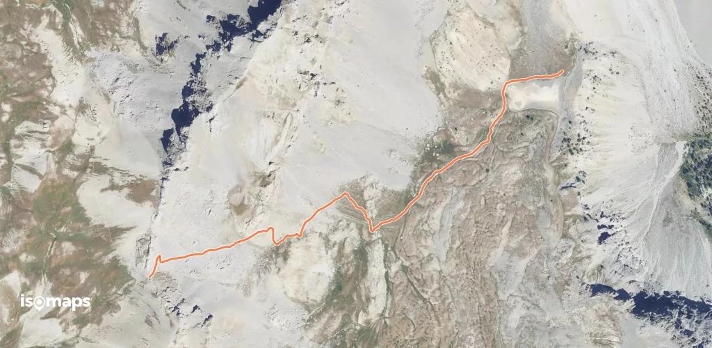
Hiking in the Hautes-Alpes

1,799 trails · 1799 total activities recorded

Map of Hautes-Alpes

The Hautes-Alpes pack into 5,549 km² some of the finest French Alpine massifs: the Écrins (south side), the Queyras with its villages perched above 2,000 m, the Devoluy with its unique karst landscape, and the Cerces near Briançon. The Barre des Écrins (4,102 m) culminates in Isère but the massif extends widely. Major trails: GR 54 (Tour de l'Oisans-Écrins), GR 58 (Tour du Queyras), GR 653D.

Access is via Gap or Briançon, mainly by TER from Marseille or Grenoble. Briançon, the highest fortified town in Europe (UNESCO), is the ideal base for the Queyras and the southern Écrins.

Best season: mid-June to late October. The dry, sunny climate of the Hautes-Alpes (300 sunny days a year in the Queyras) extends the hiking season compared to the rest of the Alps. Be aware of afternoon thunderstorms in midsummer and possible snowfalls from mid-September at altitude. Always check the forecast in high terrain.

The 647 routes we offer cover the entire region, from family walks in the Devoluy to committing traverses of the Tour des Écrins.
Top trails

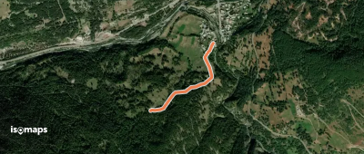
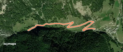
Le Roux Les Mounets - ?

Le Roux, France

437 m +9 m 10min

Very easy
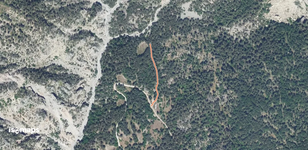
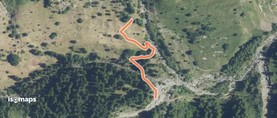
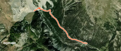
Rochas Garnier - D 135

Puy-Saint-Pierre, France

747 m +3 m 30min

Very easy
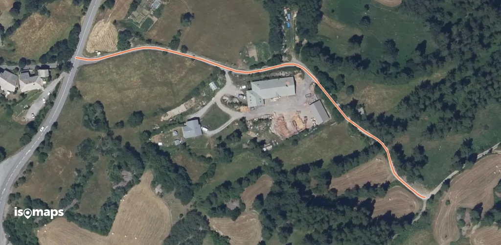
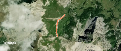
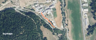
Granges Vieilles - Combe Jaune

L'Aiguille Rouge, France

539 m +66 m 10min

Very easy
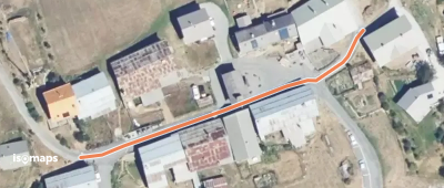
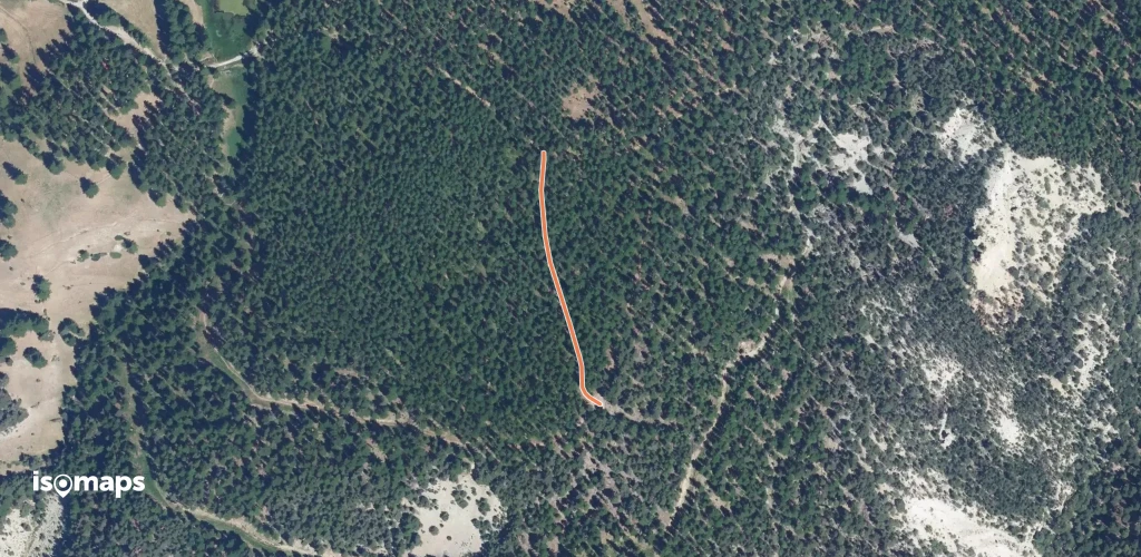
Prairies du Col - Sommet Bucher

Queyras, France

666 m +81 m 20min

Very easy
Barthalay - ?
Barthalay - ?

Les Vigneaux, France

185 m +2 m 5min

Very easy
Bois de Parapin - ?
Bois de Parapin - ?

Les Vigneaux, France

1,32 km +5 m 40min

Very easy
Les Sièyes - ?
Les Sièyes - ?

Les Orres, France

363 m +1 m 5min

Very easy
Combe Noire - ?
Combe Noire - ?

Les Orres, France

209 m +24 m 5min

Very easy
Le Freyssinet - ?
Le Freyssinet - ?

Le Serre Barbin, France

619 m +87 m 15min

Very easy
Forêt de Combe Chauve - Sur la Crête

Sommet de Cugulet, France

1,38 km +24 m 35min

Very easy
Chauvet - Les Freyssets

Gap, France

609 m +2 m 15min

Very easy
La Font d'Eygliers - Pont du Simoust

Guillestre, France

660 m +93 m 15min

Very easy
Dessus Ville-Vieille - Ville-Vieille La Rua

Château-Ville-Vieille, France

837 m +0 m 20min

Very easy
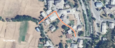
Bois de Gambarel - Combe de Gambarel

Queyras, France

1,02 km +130 m 30min

Very easy
La Rua - Ville-Vieille La Rua

Ville Vieille, France

163 m +2 m 5min

Very easy
Sous Coste Fourranne - Champoléon Les Borrels

Les Borels, France

382 m +32 m 5min

Very easy
Prés du Clot - ?
Prés du Clot - ?

Champoléon, France

348 m +8 m 10min

Very easy
Les Chatanes - Col Garnier

Granges de Furfande, France

627 m +92 m 25min

Very easy
Villargaudin - Villargaudin L'Auche

Villargaudin, France

122 m +15 m 5min

Very easy
Le Coin Le Guigou - Torrent de Combe Bonne

Arvieux, France

1,20 km +11 m 40min

Very easy
Le Planet - Pra Premier

Pra Premier, France

1,69 km +4 m 35min

Very easy
Le Coin - Sous le Coin

Arvieux, France

145 m +15 m 5min

Very easy
Bois de Roue - Belvédères

Souliers, France

201 m +8 m 5min

Very easy
Lac du Lauzon - Col du Lauzon

Col de Néal, France

1,44 km +20 m 45min

Very easy

Ready for your next adventure?

Try Isomaps free for 7 days. Available on iOS and Android.

Download on iOS Download on Android APK (Google-free)
Isomaps Your outdoor outings, anywhere, even offline
Install Install