445 trails · 445 total activities recorded
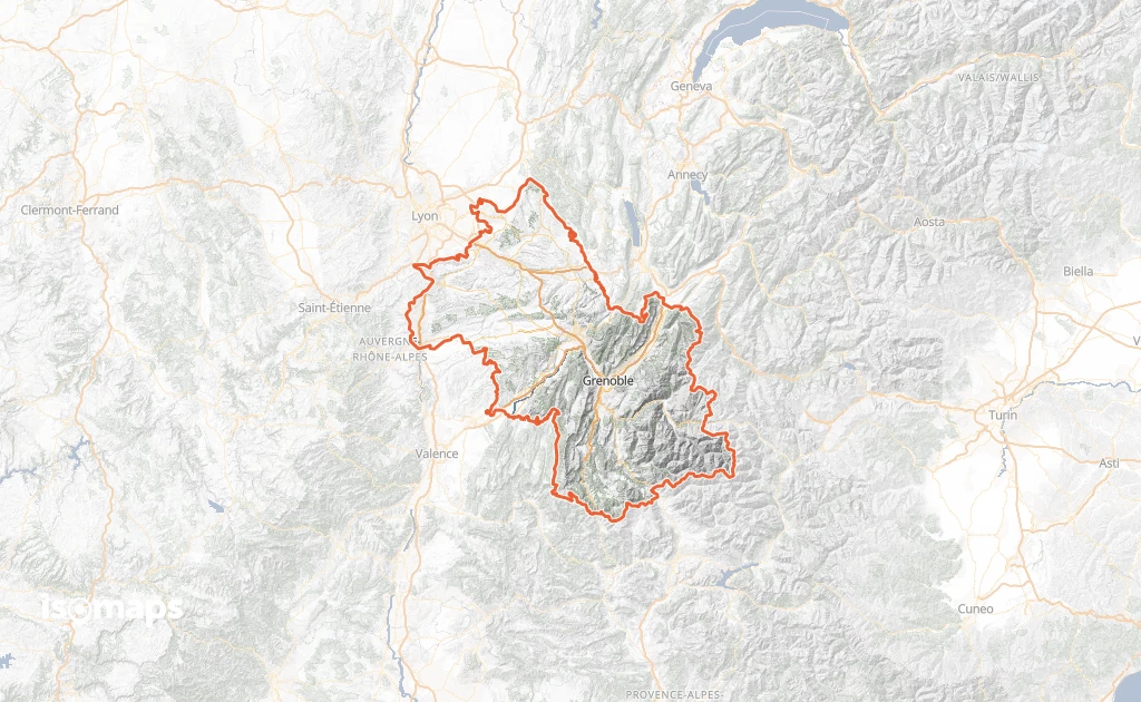
Isère is a unique playground for hikers: across 7,431 km², it brings together the Vercors and Chartreuse (regional natural parks), the Belledonne range, and especially the Oisans with the Écrins massif and its 4,102-metre summit (Barre des Écrins). The Mont Aiguille, a legendary monolith of the Renaissance, is the emblem of the Vercors. The département is crossed by the GR 9, GR 54 (Tour de l'Oisans-Écrins), and several long balcony trails.
Grenoble is served by TGV (3h from Paris, 1h from Lyon), with direct buses to Bourg-d'Oisans, the Vercors, and the great pass trailheads. Summer cable cars run at Alpe-d'Huez, Les Deux Alpes and Chamrousse.
Best season: May to October for the Vercors and Chartreuse, July to mid-October for the Oisans. High-altitude terrain in the Écrins clears late, and weather changes are brutal — afternoon thunderstorms are frequent in July-August; check the forecast and start early. The Vercors and Chartreuse offer beautiful hikes from spring thanks to their exposure.
The 892 routes we offer cover the four ranges of the département, from family walks above Grenoble to committing traverses in the Écrins.
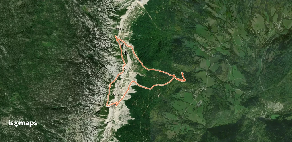
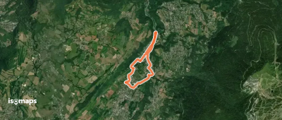
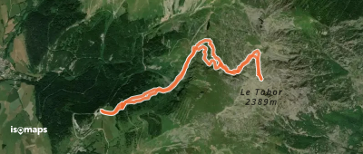
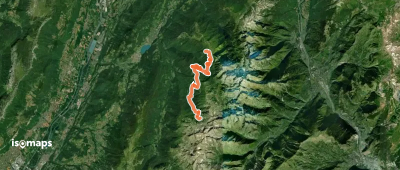
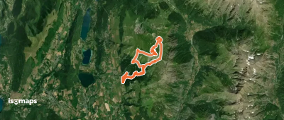
Le Tabor, France
10,96 km +1 182 m 3h 30min
Moderate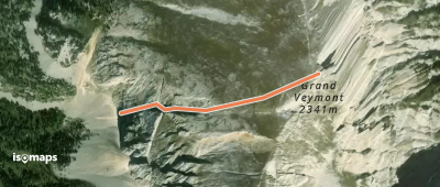
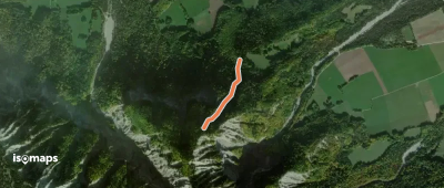
Saint-Andéol, France
7,24 km +933 m 2h 35min
Moderate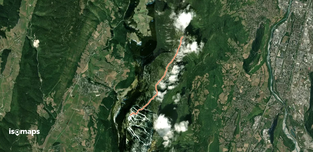
Montagnes de Lans, France
4,80 km +574 m 1h 45min
Very easy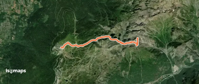
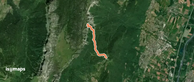
Sommet de Malaval, France
11,35 km +1 879 m 3h 50min
Moderate
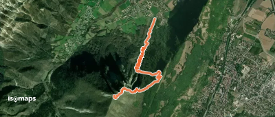
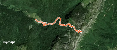
Chamrousse, France
8,40 km +2 204 m 2h 20min
Moderate
Saint-Julien-en-Vercors, France
123 m +373 m 1h 45min
Moderate
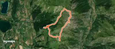
Chichilianne, France
11,61 km +1 068 m 3h 30min
Easy
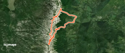
Col de l'Occiput, France
15,97 km +1 470 m 8h 5min
Very hard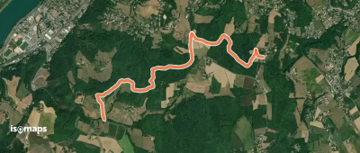
Villard-Saint-Christophe, France
17,55 km +1 561 m 4h 40min
Easy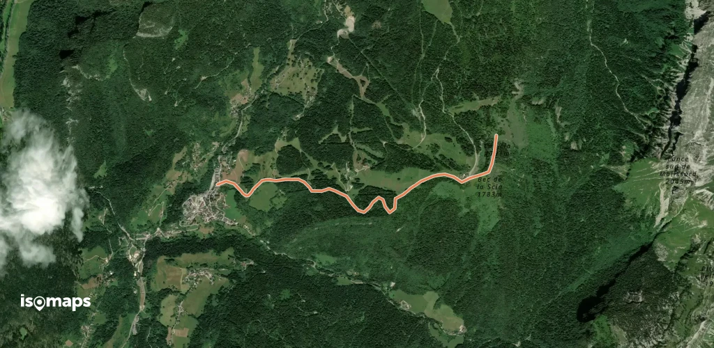
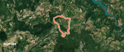
Saint-Pierre-de-Chartreuse, France
3,57 km +887 m 2h 25min
Very easy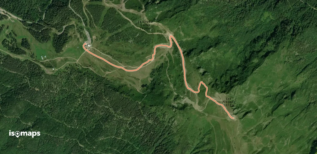
Try Isomaps free for 7 days. Available on iOS and Android.
