Hiking in Isère

453 trails · 453 total activities recorded
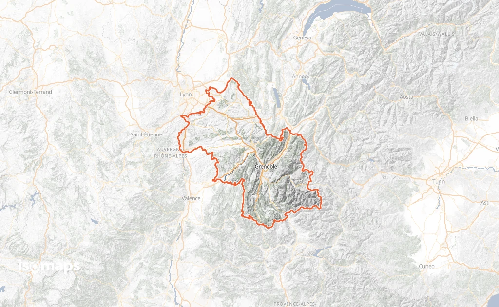
Map of Isère

Isère is a unique playground for hikers: across 7,431 km², it brings together the Vercors and Chartreuse (regional natural parks), the Belledonne range, and especially the Oisans with the Écrins massif and its 4,102-metre summit (Barre des Écrins). The Mont Aiguille, a legendary monolith of the Renaissance, is the emblem of the Vercors. The département is crossed by the GR 9, GR 54 (Tour de l'Oisans-Écrins), and several long balcony trails.

Grenoble is served by TGV (3h from Paris, 1h from Lyon), with direct buses to Bourg-d'Oisans, the Vercors, and the great pass trailheads. Summer cable cars run at Alpe-d'Huez, Les Deux Alpes and Chamrousse.

Best season: May to October for the Vercors and Chartreuse, July to mid-October for the Oisans. High-altitude terrain in the Écrins clears late, and weather changes are brutal — afternoon thunderstorms are frequent in July-August; check the forecast and start early. The Vercors and Chartreuse offer beautiful hikes from spring thanks to their exposure.

The 892 routes we offer cover the four ranges of the département, from family walks above Grenoble to committing traverses in the Écrins.
Top trails

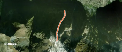
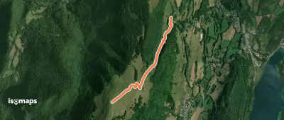
Beauregard, normale
Beauregard, normale

Laffrey, France

2,45 km +454 m 1h 0min

Very easy
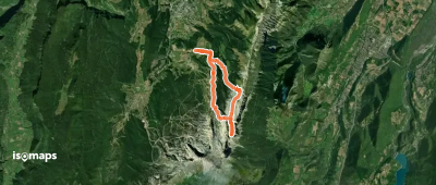
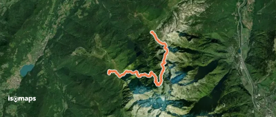
La Haute Traversée de Belledonne - Etape 3

Col de l'Occiput, France

12,91 km +1 607 m 7h 30min

Very hard
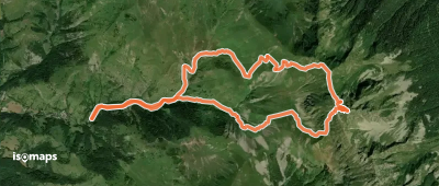
Pic de Barlet, Face NNW

La Boutière, France

4,08 km +1 080 m 2h 15min

Hard
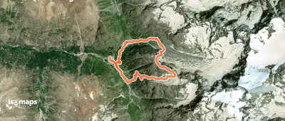
Pyramide d'Ornon - Versant W par le Lac Fourchu

Serre Montgaudi, France

5,66 km +1 278 m 3h 15min

Moderate
Circuit des Remparts

Vaulnaveys-le-Haut, France

2,15 km +170 m 2h 10min

Very easy
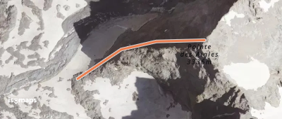
Pointe des Aigles - Arête W

Pointe Emma, France

327 m +395 m 5min

Moderate
La Grave - Malaval versant N - Total chacal

Le Bourg-d'Oisans, France

1,44 km +1 053 m 1h 0min

Moderate
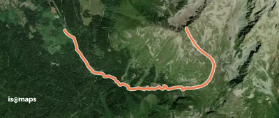
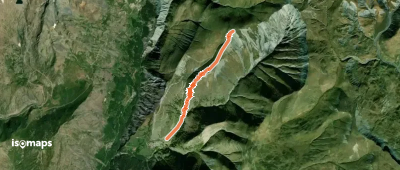
Jas des Lievres, Couloir Sud Est

La Boutière, France

4,94 km +1 120 m 2h 50min

Moderate
La Quarlie, Par les granges du Gay

Besse, France

4,37 km +794 m 2h 25min

Easy
Pas de l'Œille - depuis les Glovettes

Petite Soeur Sophie, France

14,00 km +1 182 m 3h 30min

Moderate
Le Grand Manti - Voie de la Rampe

L'Aulpe du Seuil, France

2,92 km +604 m 1h 25min

Moderate
Gerbier, Couloir Est

Le Gua, France

3,02 km +629 m 1h 25min

Very hard
Rocher du Midi - Jardiland

Saint-Hilaire, France

2,76 km +651 m 1h 35min

Moderate
Grand Chapelet, versant W

Fallavaux, France

9,23 km +1 235 m 3h 30min

Moderate
Tour de Pravouta
Tour de Pravouta

Pravouta, France

3,97 km +316 m 1h 50min

Easy
Cornes de Pié Bérarde - Traversée NW - SE

La Bérarde, France

9,46 km +1 451 m 3h 50min

Moderate
Chamechaude - Pilier Tobey (ou Oriental)

Chamechaude, France

6,82 km +872 m 2h 5min

Moderate
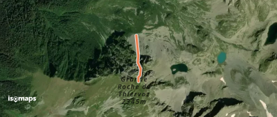
Grande Roche de Thiervoz - Couloir N

Rocher d'Arguille, France

462 m +343 m 5min

Hard
La Pinéa - Face E - depuis le Col de Porte

La Pinea, France

4,66 km +554 m 1h 40min

Easy
Ranc des Agnelons - Versant E

Le Gua, France

4,39 km +960 m 2h 30min

Moderate
Le vallon du Bruyant

Les Lolettes, France

7,58 km +621 m 2h 55min

Moderate
Circuit des Cimes
Circuit des Cimes

Chamrousse, France

13,36 km +953 m 5h 50min

Hard
Grand Veymont - Crête N depuis Gresse-en-Vercors

Grand Veymont, France

9,42 km +1 188 m 3h 20min

Moderate

Ready for your next adventure?

Try Isomaps free for 7 days. Available on iOS and Android.

Download on iOS Download on Android APK (Google-free)
Isomaps Your outdoor outings, anywhere, even offline
Install Install