Hiking in the Vosges

290 trails · 290 total activities recorded
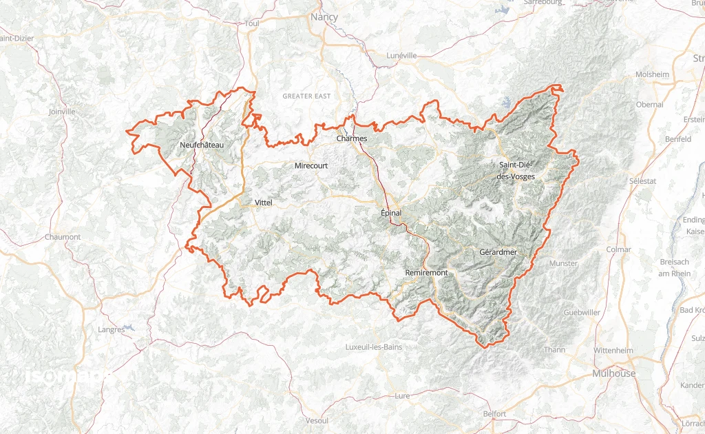
Map of Vosges

The Vosges spread over 5,874 km² of mid-mountain landscape with iconic features: rounded "ballons", grassy ridge tops (chaumes), glacial lakes, deep fir forests. The Hohneck (1,363 m), the Tête des Faux and the Grand Ballon (1,424 m, shared with Haut-Rhin) are the emblematic summits. The Route des Crêtes runs along the watershed. The département is criss-crossed by the GR 5, the GR 53 and the Sentier des Crêtes — all waymarked by the Club Vosgien since 1872.

Épinal, the main city, is served by TER from Nancy. The massifs are reached by car via Gérardmer, La Bresse or Le Tholy.

Best season: April to November. The Vosges, lower than the Alps, open early to hiking. Spring and autumn are magnificent (colourful forests). Winter: cross-country skiing and snowshoeing from 800-1,000 m. Weather is more changeable than in the southern Alps — Atlantic fronts move in quickly.

The 16 routes we offer for this département will grow over time. Feel free to contribute your own tracks.

Nearby zones

Top trails

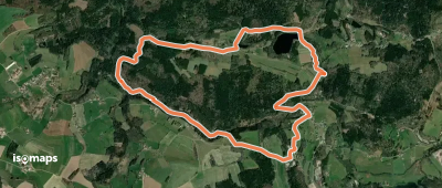
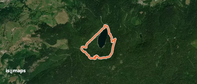
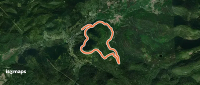
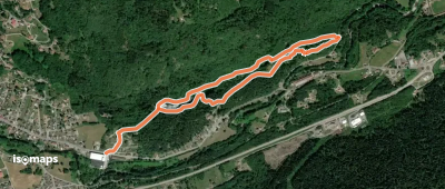
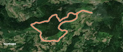
Circulaire du Tour le la Malpierre

Les Trayes, France

7,64 km +213 m 2h 15min

Easy
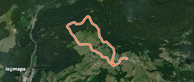
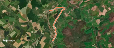
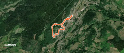
Le Dropt par le Haut-de-l'A

Girmont-Val-d'Ajol, France

4,58 km +135 m 1h 5min

Very easy
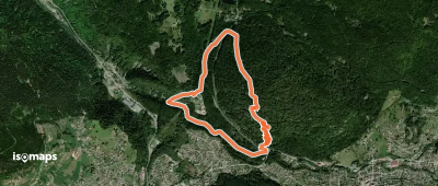
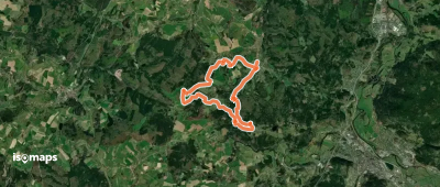
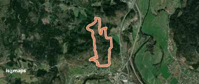
Circuit de la Roche des Bruyères

Gérardmer, France

4,91 km +308 m 2h 0min

Easy
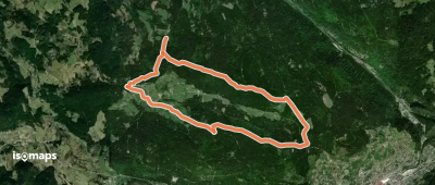
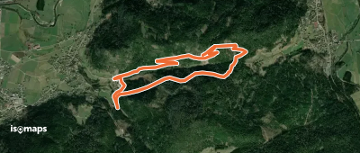
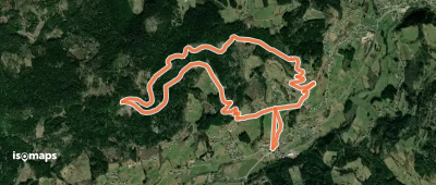
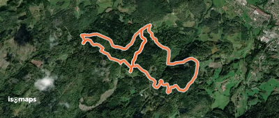
Circuit de Liézey
Circuit de Liézey

Liézey, France

11,28 km +272 m 2h 30min

Easy
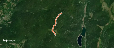
Circuit de la Roche du Lac

Abri de Rachute, France

3,10 km +258 m 1h 45min

Easy
Jonction Ambacourt-Mazirot

Ambacourt, France

4,99 km +99 m 1h 5min

Very easy
Raon-aux-Bois - Circuit 3

Raon-aux-Bois, France

15,04 km +427 m 3h 35min

Moderate
Tour de Saint-Nabord

Remiremont, France

47,19 km +1 194 m 23h 20min

Very hard
Circuit de la Roche du Chenau

Dommartin-lès-Remiremont, France

5,95 km +417 m 3h 30min

Easy
Circuit du col des marcassins

Allarmont, France

8,20 km +422 m 2h 35min

Moderate
Les Roches Chevalières

La Forge, France

7,71 km +356 m 2h 20min

Easy
Circuit de Bramont
Circuit de Bramont

Col de Bramont, France

3,63 km +242 m 1h 30min

Easy
Variante GR 531
Variante GR 531

Tête du Rouge Rupt, France

2,45 km +151 m 45min

Very easy
Circuit de la chaume de Lusse

Lusse, France

14,51 km +622 m 4h 20min

Moderate
Circuit Bâmont
Circuit Bâmont

Saulxures-sur-Moselotte, France

2,94 km +94 m 55min

Very easy
Circuit des Croisettes

Le Ménil, France

2,79 km +164 m 1h 15min

Very easy
Tour du Grand Valtin

Sérichamp, France

7,18 km +296 m 2h 5min

Easy
Sentier "Montiroche"

Saint-Nabord, France

3,95 km +174 m 1h 5min

Very easy
Circuit de la Grosse Pierre

La Croix-aux-Mines, France

5,65 km +481 m 1h 55min

Easy
Circuit des Noirs Étangs

Ramonchamp, France

7,61 km +359 m 2h 40min

Easy
Circuit du Haut du Roc par la Burotte

Tête du Saut, France

6,85 km +276 m 2h 10min

Easy
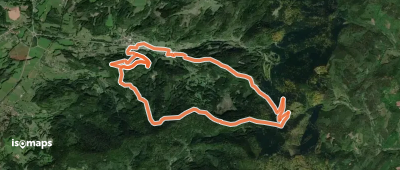
Tour de Ventron
Tour de Ventron

Ventron, France

28,37 km +1 312 m 9h 25min

Very hard
Circuit de la Rochaule

Ferdrupt, France

6,95 km +405 m 2h 0min

Easy
Circuit Le Daval
Circuit Le Daval

Cornimont, France

6,15 km +327 m 2h 15min

Easy

Ready for your next adventure?

Try Isomaps free for 7 days. Available on iOS and Android.

Download on iOS Download on Android APK (Google-free)
Isomaps Your outdoor outings, anywhere, even offline
Install Install