Launch offer: subscribe before July 12 and lock in your price for life. See pricing

Hiking in the Vosges

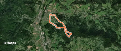
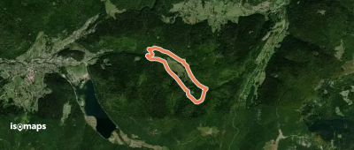
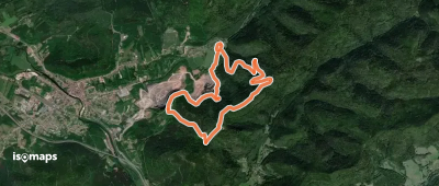
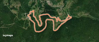
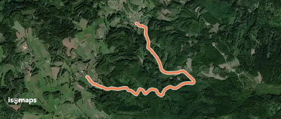
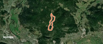
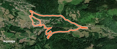
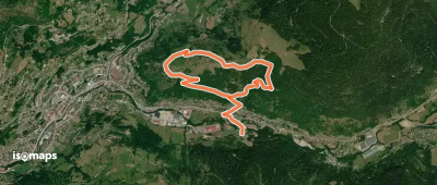
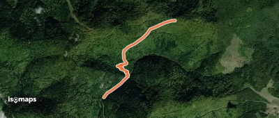
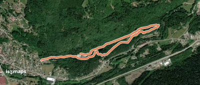
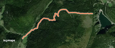
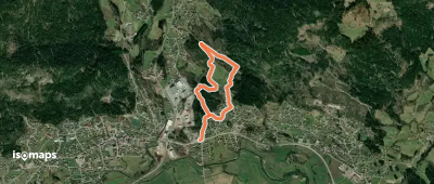
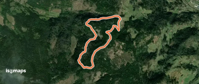
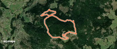
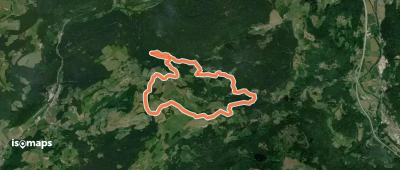
244 trails · 244 total activities recorded

Map of Vosges

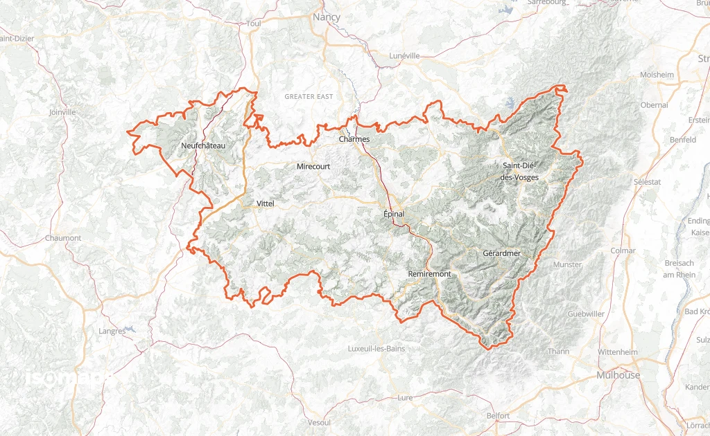
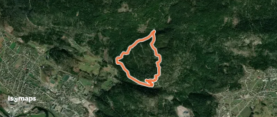
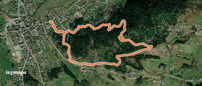
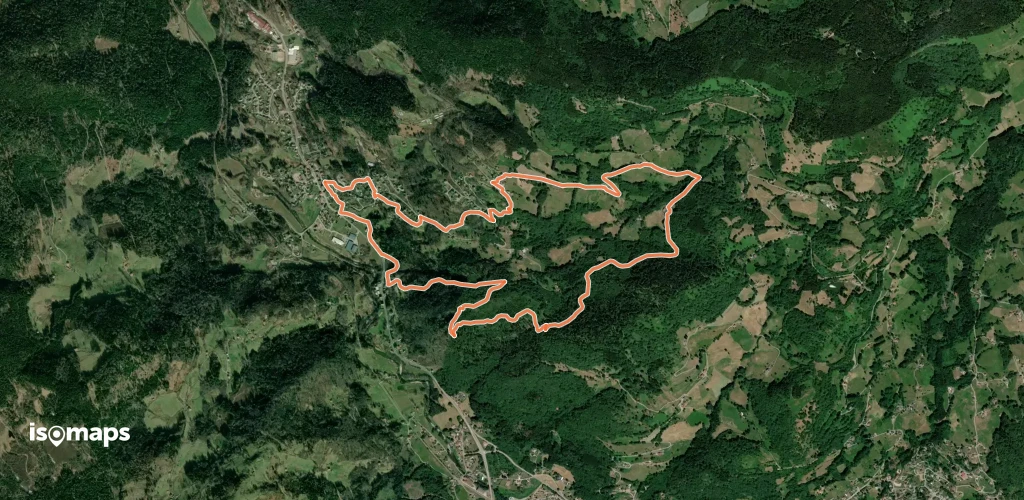
The Vosges spread over 5,874 km² of mid-mountain landscape with iconic features: rounded "ballons", grassy ridge tops (chaumes), glacial lakes, deep fir forests. The Hohneck (1,363 m), the Tête des Faux and the Grand Ballon (1,424 m, shared with Haut-Rhin) are the emblematic summits. The Route des Crêtes runs along the watershed. The département is criss-crossed by the GR 5, the GR 53 and the Sentier des Crêtes — all waymarked by the Club Vosgien since 1872.

Épinal, the main city, is served by TER from Nancy. The massifs are reached by car via Gérardmer, La Bresse or Le Tholy.

Best season: April to November. The Vosges, lower than the Alps, open early to hiking. Spring and autumn are magnificent (colourful forests). Winter: cross-country skiing and snowshoeing from 800-1,000 m. Weather is more changeable than in the southern Alps — Atlantic fronts move in quickly.

The 16 routes we offer for this département will grow over time. Feel free to contribute your own tracks.

Nearby zones

Top trails

Circuit du Haut Bourbier

Saint-Léonard, France

6,30 km +234 m 1h 45min

Easy
Parcours circulaire de Belbriette

Xonrupt-Longemer, France

5,26 km +139 m 1h 30min

Very easy
Circuit de la Faïencerie

Raon-l'Étape, France

9,91 km +420 m 3h 15min

Moderate
Sentier circulaire de Zéfeut

Rupt de Bâmont, France

2,77 km +236 m 1h 0min

Very easy
La Vierge des Champs

Plombières-les-Bains, France

5,75 km +204 m 1h 40min

Very easy
Circuit de la Roche des Fées

Fraize, France

8,63 km +351 m 2h 20min

Easy
Circuit de la Grande Roche

Cornimont, France

2,96 km +419 m 2h 30min

Easy
Circuit Musée du Textile

Ventron, France

8,64 km +331 m 2h 30min

Easy
Châtas - Le Rouaux
Châtas - Le Rouaux

Ban-de-Sapt, France

4,14 km +148 m 1h 5min

Very easy
Circulaire de Saint-Arnould

Saint-Étienne-lès-Remiremont, France

4,21 km +145 m 1h 5min

Very easy
Circuit du Village
Circuit du Village

Basse-sur-le-Rupt, France

4,06 km +198 m 2h 20min

Very easy
Circuit de Moyenmont

Moyenmont, France

4,44 km +259 m 1h 55min

Easy
Sentier Sybille
Sentier Sybille

Haut de Helzieux, France

2,63 km +395 m 1h 30min

Easy
Le Coteau du Bambois

Saulxures-sur-Moselotte, France

2,49 km +105 m 45min

Very easy
Sentier du Ruhlock
Sentier du Ruhlock

Saint-Dié, France

4,38 km +559 m 1h 40min

Easy
Petit circuit des Gemeaux

Saint-Amé, France

3,03 km +90 m 45min

Very easy
Sentier Guy Mercier
Sentier Guy Mercier

Le Grand Ventron, France

4,51 km +43 m 1h 40min

Very easy
Circuit de la Charme

Rupt-sur-Moselle, France

4,68 km +190 m 1h 25min

Very easy
Sentier Xavier Thiriat

Julienrupt, France

6,42 km +310 m 2h 5min

Easy
Les Étangs du Girmont

Girmont-Val-d'Ajol, France

9,93 km +299 m 2h 30min

Easy
Circulaire des Moines

Saint-Étienne-lès-Remiremont, France

3,40 km +236 m 1h 20min

Easy
Circuit des Roches du Mettey

Vagney, France

3,70 km +318 m 1h 15min

Easy
Circulaire Jacquinot

Cleurie, France

2,97 km +125 m 50min

Very easy
Circuit du Droit de Thiéfosse grande boucle

Thiéfosse, France

8,60 km +410 m 3h 5min

Moderate

Ready for your next adventure?

Try Isomaps free for 7 days. Available on iOS and Android.

Download on iOS Download on Android APK (Google-free)
Isomaps Your outdoor outings, anywhere, even offline
Install Install