Hiking in the Allgäu Alps

108 trails · 108 total activities recorded

Map of Allgäu Alps

The Allgäu Alps (Allgäuer Alpen) form a transboundary massif between Bavaria (Germany) and Tyrol (Austria). Spread over about 1,500 km², they offer varied terrain: green high-altitude meadows, glacial lakes, limestone summits, and typical Alpine villages. The Hochvogel (2,592 m) and the Mädelegabel (2,645 m) are the highest peaks. The massif is crossed by the famous E5 (European long-distance trail Konstanz-Verona) and the Heilbronner Höhenweg, one of the finest ridge hikes in the Eastern Alps.

Oberstdorf is the gateway town, accessible by direct train from Munich (3h) or Stuttgart (3h30). The Nebelhorn and Fellhorn cable cars provide quick altitude gain. DAV (German Alpine Club) refuges are plentiful for multi-day hikes.

Best season: mid-June to mid-October. High-altitude trails generally clear of snow in mid-June, and the season extends well into October with spectacular autumn colours. Watch for afternoon thunderstorms in July-August at altitude.

This area is under construction on Isomaps. Feel free to contribute your own tracks to enrich our Allgäu map.
Top trails

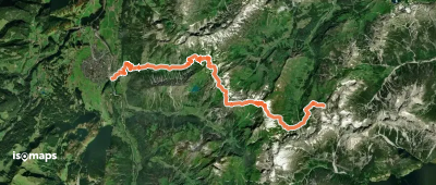
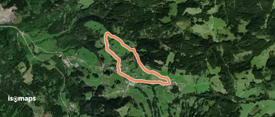
Jungholzer Höhenweg
Jungholzer Höhenweg

Jungholz, Autriche

3,50 km +123 m 1h 0min

Very easy
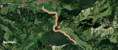
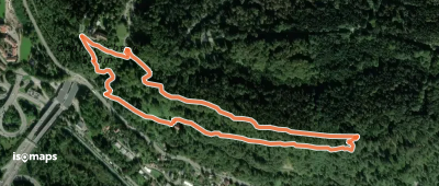
Klettersteig Känzele

Bregenz, Autriche

2,10 km +293 m 1h 30min

Easy
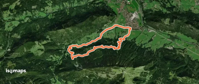
Via Alpina Yellow B39

Mädelejoch, Autriche

7,68 km +969 m 3h 20min

Moderate
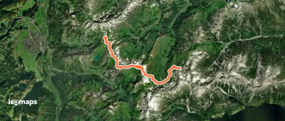
Grenzgänger Etappe 2

Steinkarspitze, Autriche

11,77 km +1 077 m 6h 55min

Very hard
Wanderweg 56
Wanderweg 56

Hermannskarturm, Autriche

3,29 km +795 m 2h 30min

Moderate
Grenzgänger Etappe 5

Giebel, Autriche

14,88 km +1 608 m 8h 15min

Very hard
Nest-Rundweg
Nest-Rundweg

Sibratsgfäll, Autriche

2,92 km +195 m 1h 10min

Very easy
Sausteigrundweg
Sausteigrundweg

Sausteig, Autriche

2,06 km +115 m 50min

Very easy
Wanderweg 437
Wanderweg 437

Krotten-Kopf, Autriche

9,63 km +447 m 4h 45min

Moderate
Nederpfad
Nederpfad

Hinterhornbach, Autriche

4,02 km +441 m 2h 10min

Moderate
Wanderweg 431
Wanderweg 431

Zeiger, Allemagne

19,13 km +1 510 m 9h 25min

Very hard
Walderlebnispfad Möggers

Möggers, Autriche

2,32 km +137 m 55min

Very easy
Höhenweg
Höhenweg

Baad, Autriche

3,46 km +146 m 1h 5min

Very easy
Lausbubenweg
Lausbubenweg

Doren, Autriche

3,14 km +142 m 1h 0min

Very easy
Wanderweg 433
Wanderweg 433

Mädelejoch, Allemagne

14,59 km +1 483 m 7h 45min

Very hard
Wanderweg 50
Wanderweg 50

Elbigenalp, Autriche

2,70 km +130 m 1h 20min

Easy
Nord Süd Trail, Abschnitt Weiler im Allgäu - Ofterschwang

Weiler-Simmerberg, Allemagne

87,04 km +5 872 m 32h 25min

Very hard
Via Alpina Stage 52: Mindelheimer Hütte - Schröcken

Schröcken, Autriche

15,17 km +1 602 m 7h 5min

Very hard
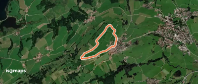
Panoramaweg Runde 3
Panoramaweg Runde 3

Oy-Mittelberg, Allemagne

2,87 km +88 m 40min

Very easy
Rund um den Staufen
Rund um den Staufen

Oberstaufen, Allemagne

4,48 km +134 m 1h 15min

Very easy
Via Alpina Purple A66

Oberstdorf, Allemagne

17,49 km +2 229 m 9h 35min

Very hard
Fallmühle-Schwarzwandweg

Pfronten, Allemagne

9,89 km +506 m 3h 0min

Easy
Wanderweg 428
Wanderweg 428

Zeiger, Allemagne

10,45 km +1 121 m 6h 30min

Very hard

Ready for your next adventure?

Try Isomaps free for 7 days. Available on iOS and Android.

Download on iOS Download on Android APK (Google-free)
Isomaps Your outdoor outings, anywhere, even offline
Install Install