Hiking in the Allgäu Alps

156 trails · 156 total activities recorded

Map of Allgäu Alps

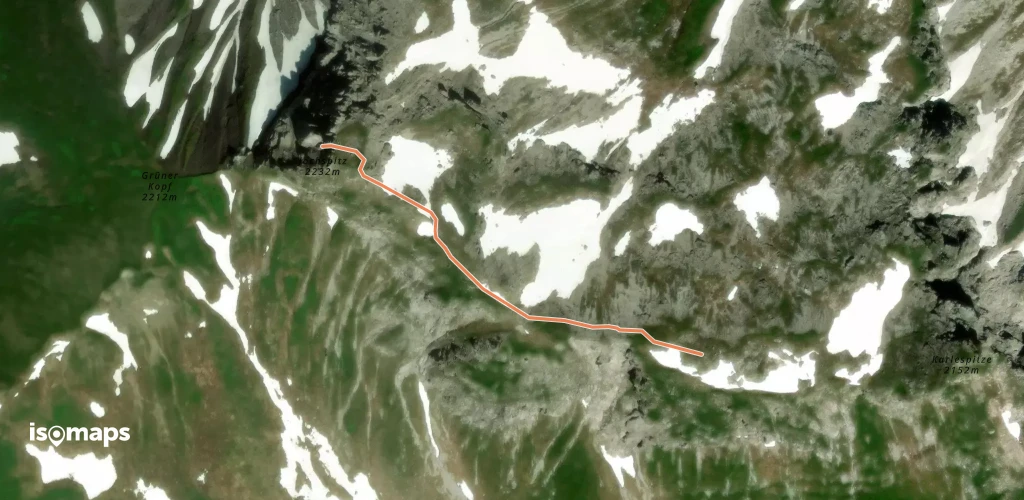
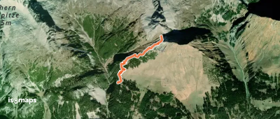
The Allgäu Alps (Allgäuer Alpen) form a transboundary massif between Bavaria (Germany) and Tyrol (Austria). Spread over about 1,500 km², they offer varied terrain: green high-altitude meadows, glacial lakes, limestone summits, and typical Alpine villages. The Hochvogel (2,592 m) and the Mädelegabel (2,645 m) are the highest peaks. The massif is crossed by the famous E5 (European long-distance trail Konstanz-Verona) and the Heilbronner Höhenweg, one of the finest ridge hikes in the Eastern Alps.

Oberstdorf is the gateway town, accessible by direct train from Munich (3h) or Stuttgart (3h30). The Nebelhorn and Fellhorn cable cars provide quick altitude gain. DAV (German Alpine Club) refuges are plentiful for multi-day hikes.

Best season: mid-June to mid-October. High-altitude trails generally clear of snow in mid-June, and the season extends well into October with spectacular autumn colours. Watch for afternoon thunderstorms in July-August at altitude.

This area is under construction on Isomaps. Feel free to contribute your own tracks to enrich our Allgäu map.

Top trails

Sebald-Weg
Sebald-Weg

Hintere Wiedhagalpe, Allemagne

11,84 km +139 m 2h 55min

Easy
Schwäbisch-Allgäuer-Weitwanderweg

Sonthofen, Allemagne

160,69 km +2 543 m 34h 15min

Very hard
Von Hütte zu Hütte rund um den Edelsberg

Hündeleskopf, Allemagne

12,22 km +944 m 10h 20min

Moderate
Jakobsweg Tirol - Allgäu

Reuter, Autriche

134,36 km +4 575 m 45h 35min

Very hard
Via Alpina Red R51
Via Alpina Red R51

Mindelheimer Köpfl, Allemagne

19,69 km +737 m 8h 5min

Hard
Oy-Mittelberg - lokale beschilderte Wanderwege

Oberellegg, Allemagne

68,39 km +3 674 m 21h 45min

Very hard
Wandertrilogie Etappe 39 Scheidegg-Lindenberg

Lindenberg, Allemagne

10,02 km +290 m 2h 25min

Easy
Premiumwanderweg Alpin Luftiger Grat

Mittlere Bergmoosalpe, Allemagne

11,03 km +1 210 m 10h 0min

Hard
G - Winterwanderung zur Gaisalpe

Vordere Entschen Alpe, Allemagne

12,16 km +606 m 4h 5min

Moderate
Rund um die Reuterwanne

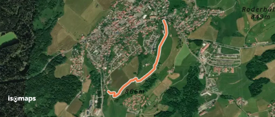
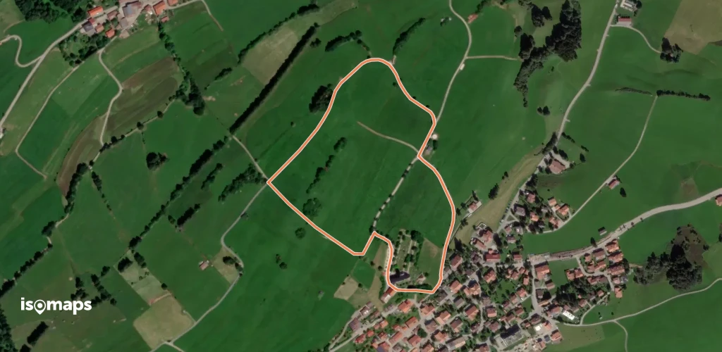
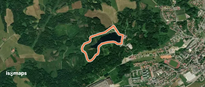
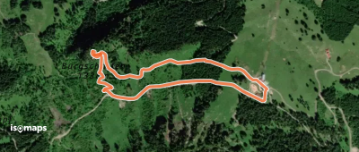
Bayerstetten, Allemagne

7,75 km +746 m 2h 35min

Easy
Grenzgänger Etappe 5

Giebel, Autriche

14,88 km +1 608 m 8h 15min

Very hard
Fallmühle-Schwarzwandweg

Pfronten, Allemagne

9,89 km +506 m 3h 0min

Easy
Georg´s Geowelt Forscherpfad

Hirschberg, Allemagne

4,73 km +495 m 4h 25min

Easy
Wanderweg 57
Wanderweg 57

Krotten-Kopf, Autriche

2,70 km +75 m 1h 40min

Very easy
Wandertrilogie Etappe 37 Oberreute-Weiler

Hinterschweinhöf, Allemagne

11,83 km +574 m 3h 35min

Easy
Wandertrilogie Etappe 40 Lindenberg-Eglofs

Lindenberg, Allemagne

12,97 km +311 m 3h 5min

Easy
König-Ludwig-Weg
König-Ludwig-Weg

Füssen, Allemagne

145,67 km +3 020 m 56h 10min

Very hard
Wanderweg 427

Giebel, Autriche

23,36 km +1 667 m 17h 45min

Very hard
Grenzgänger Etappe 3

Wiedemer Kopf, Autriche

12,58 km +1 113 m 7h 15min

Very hard
Wanderweg 425
Wanderweg 425

Schnatterbachkopf, Autriche

4,54 km +868 m 2h 25min

Moderate
Oberallgäuer Rundwanderweg

Grauenstein, Allemagne

226,54 km +10 537 m 69h 10min

Very hard
Wanderweg 421
Wanderweg 421

Hinterhornbach, Autriche

28,29 km +3 127 m 34h 45min

Very hard
Wanderweg 439
Wanderweg 439

Biberkopf, Autriche

16,06 km +2 345 m 18h 5min

Very hard
BSR Rundwanderweg Ergänzung

Bregenz, Autriche

5,53 km +38 m 2h 15min

Very easy

Ready for your next adventure?

Try Iso Maps free for 7 days. Available on iOS and Android.

Download on iOS Download on Android APK (Google-free)