Staffed hut · 1 680 m · Chantepérier
Guarded mountain hut located in Chantepérier, in Isère. The owner is unknown.
Loading the forecast…
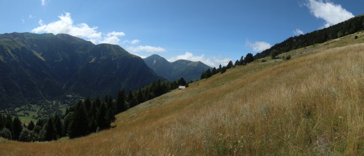
Reach the Gaudissard meadow via a marked trail from Le Périer (village where the Pont du Gas is located). From there, two still visible paths lead up to the hut (indicated on OpenStreetMap). Another access is possible from the ruined hamlet of Les Surres (above Les Pinets). From Les Surres, take the path leading to Gaudissard for 50 m. From there, a fairly well-marked path leads, traversing the flank, near the hut. The last 30 m before arrival are almost pathless (a few cairns), but easy to walk on in a passable moorland. Finally, if coming from the north, from the trail coming from Combe Piolente, identify at 1565 m altitude (cairn) a faint path (visible on OpenStreetMap) leading to the plateau north of the hut at 1650 m altitude. From there, the hut is clearly visible.
Shepherd/hunter's cabin with a very good recently built roof. The stove flue is in very good condition, but the stove itself is somewhat old. The cabin seems little used. Firewood in reserve and a nearby forest. No 100% reliable water source nearby. You can try [->10435] if it is open and the herd has not yet settled in the meadow at the pass. On site: a recent sleeping platform, a very old bench, an aluminium pot, a broom.
No source says whether this hut is open. Missing information is not a guarantee.
This page brings together several open sources. The licences below apply to their respective content.
Try Isomaps free for 7 days. Available on iOS and Android.


