227 trails in Belledonne. Find your next route on Isomaps — topo maps, GPS and elevation profile.
Pas de la Coche, France
5,34 km +138 m 35min
Moderate
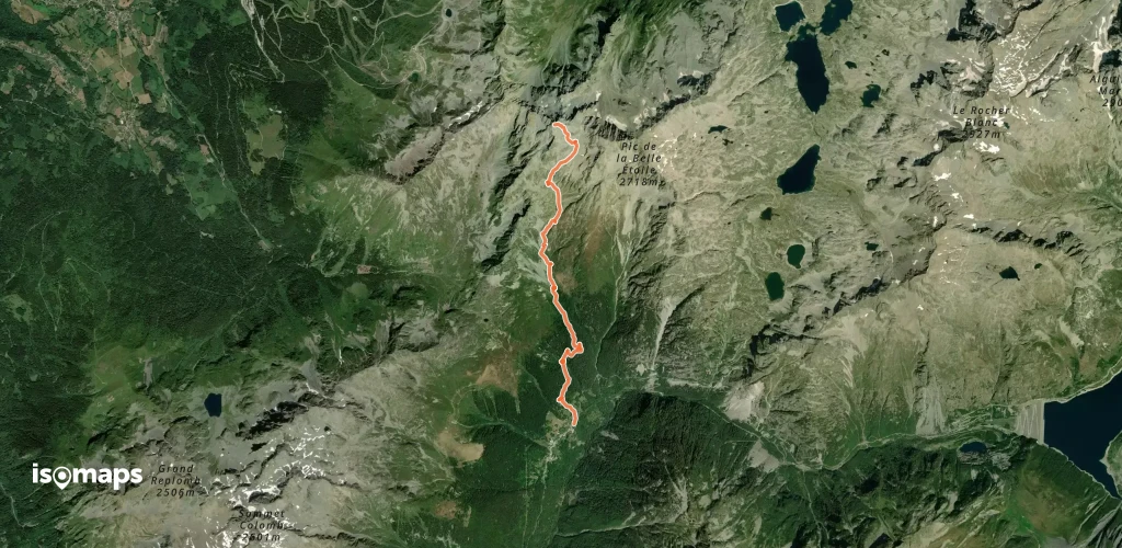
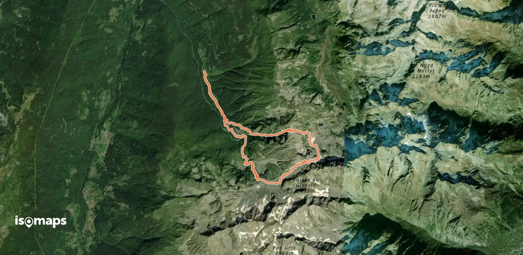
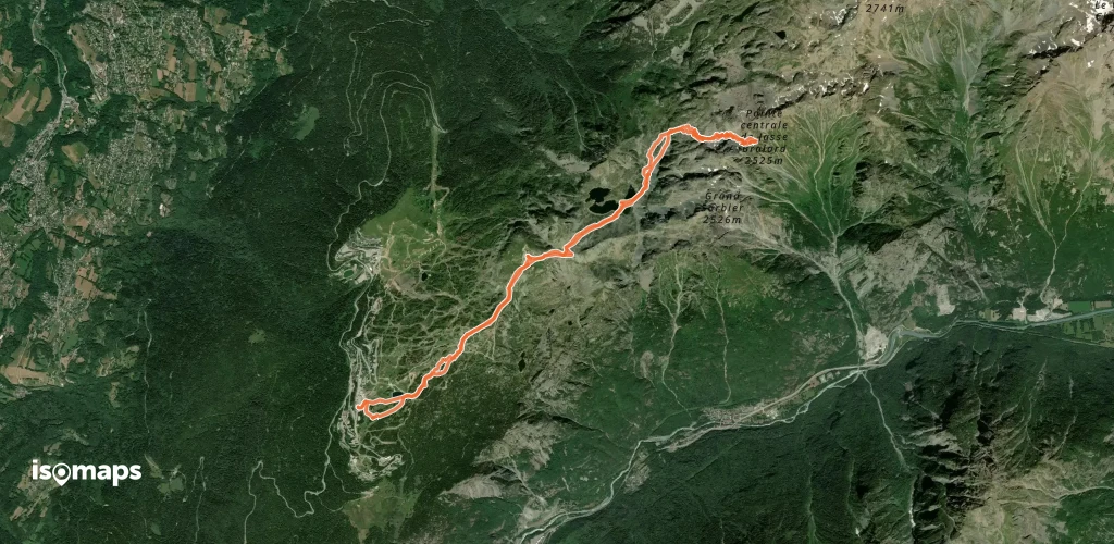
Pas de la Coche, France
12,42 km +1 738 m 4h 35min
Moderate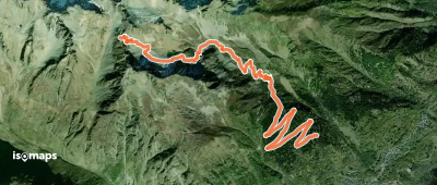
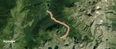
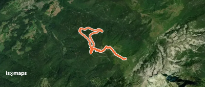
Saint-Colomban-des-Villards, France
6,58 km +1 119 m 2h 50min
Easy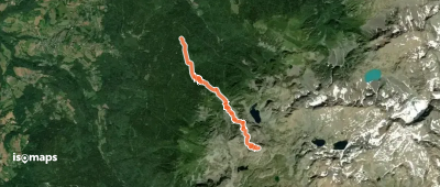
Grande Montagne d'Arvillard, France
10,12 km +889 m 2h 50min
Very easy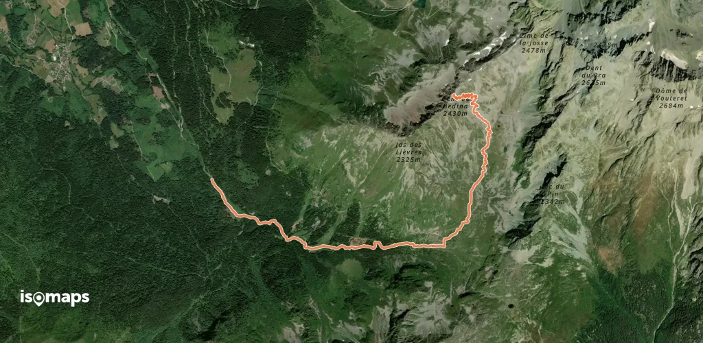

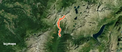
Saint-Colomban-des-Villards, France
10,51 km +1 441 m 3h 45min
Moderate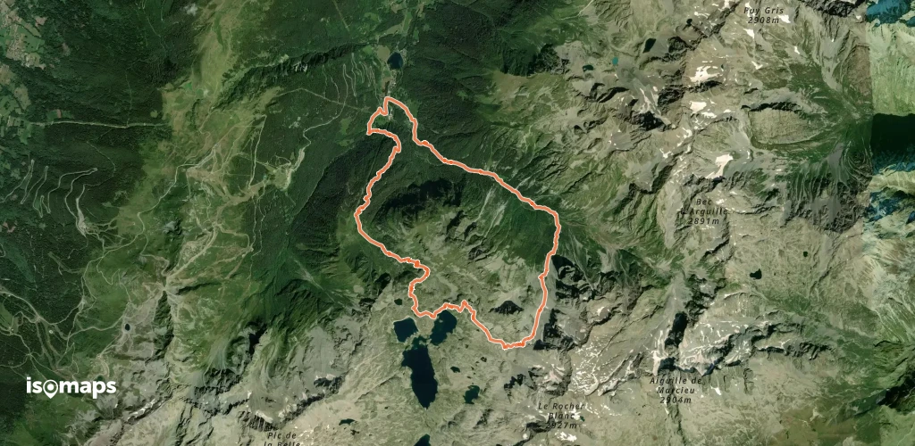

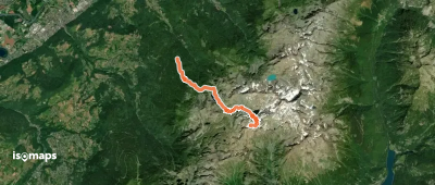
Pinsot, France
12,14 km +1 746 m 5h 15min
Hard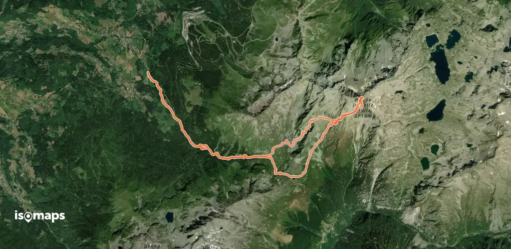
La Boutière, France
19,22 km +1 993 m 5h 45min
Moderate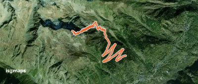
Saint-Colomban-des-Villards, France
5,82 km +1 043 m 2h 20min
Hard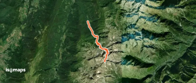


Chamrousse, France
15,85 km +1 328 m 4h 30min
Easy
Try Isomaps free for 7 days. Available on iOS and Android.
