227 trails in Belledonne. Find your next route on Isomaps — topo maps, GPS and elevation profile.

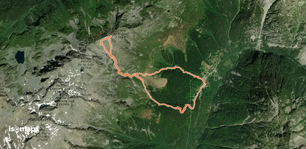
Les Sept Laux le Pleynet, France
6,22 km +1 413 m 3h 15min
Hard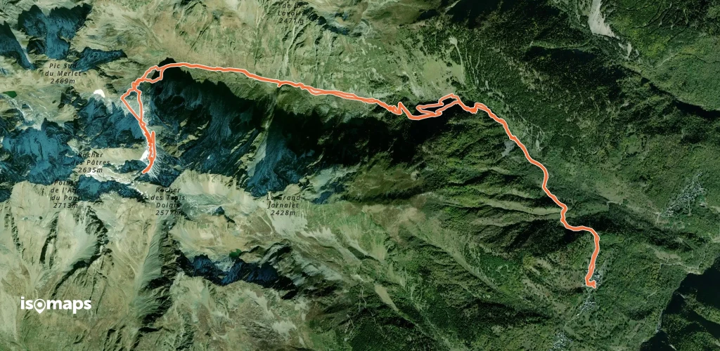
Saint-Alban-des-Villards, France
16,19 km +1 471 m 5h 0min
Easy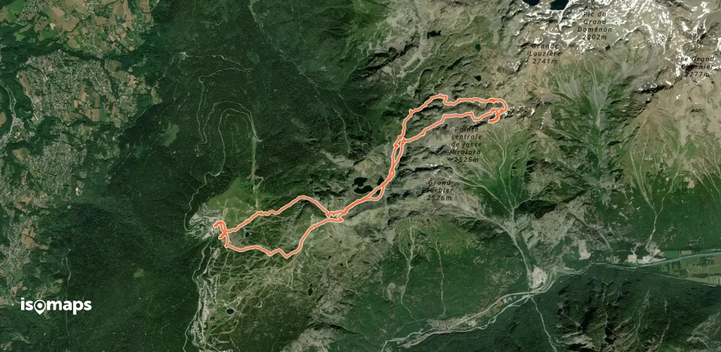
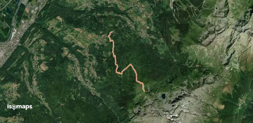
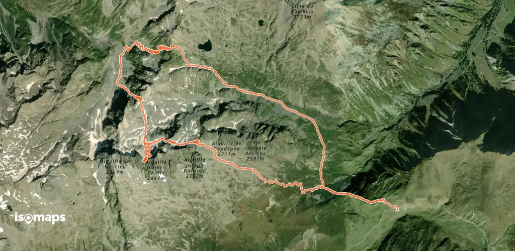
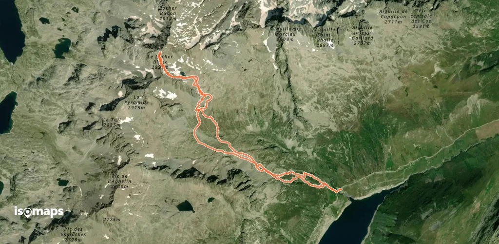
Chamrousse, France
17,86 km +2 003 m 5h 25min
Moderate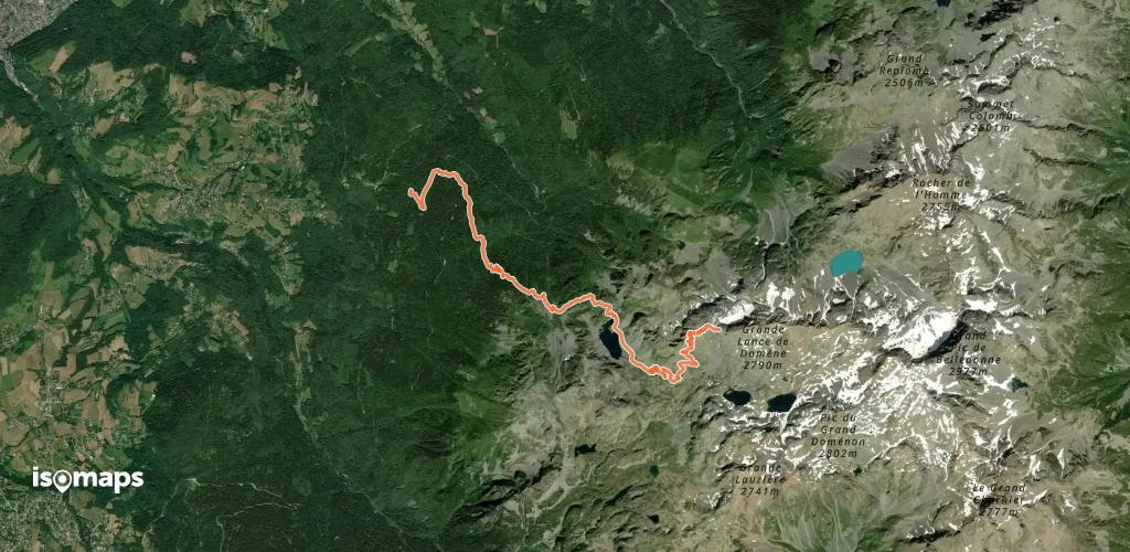
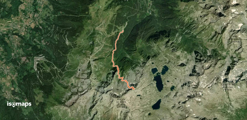
Col du Glandon, France
13,66 km +1 949 m 5h 5min
Moderate


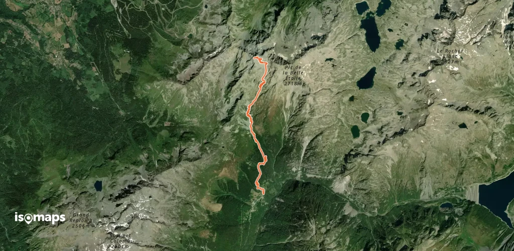
Pointe du Gleyzin, France
9,62 km +1 398 m 3h 35min
Hard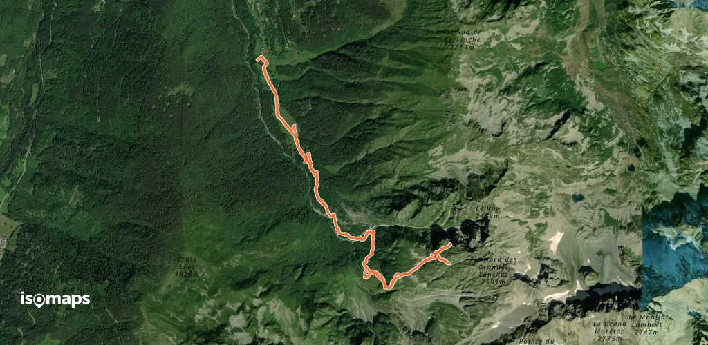
Pointe du Gleyzin, France
9,62 km +1 398 m 3h 35min
Hard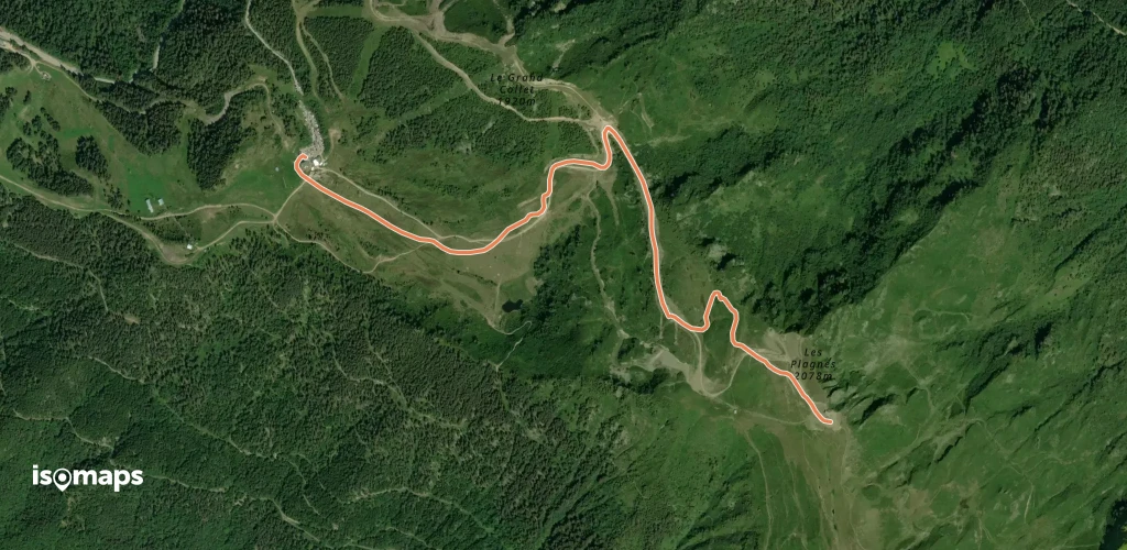

Pointe du Gleyzin, France
8,64 km +1 510 m 3h 40min
Very hard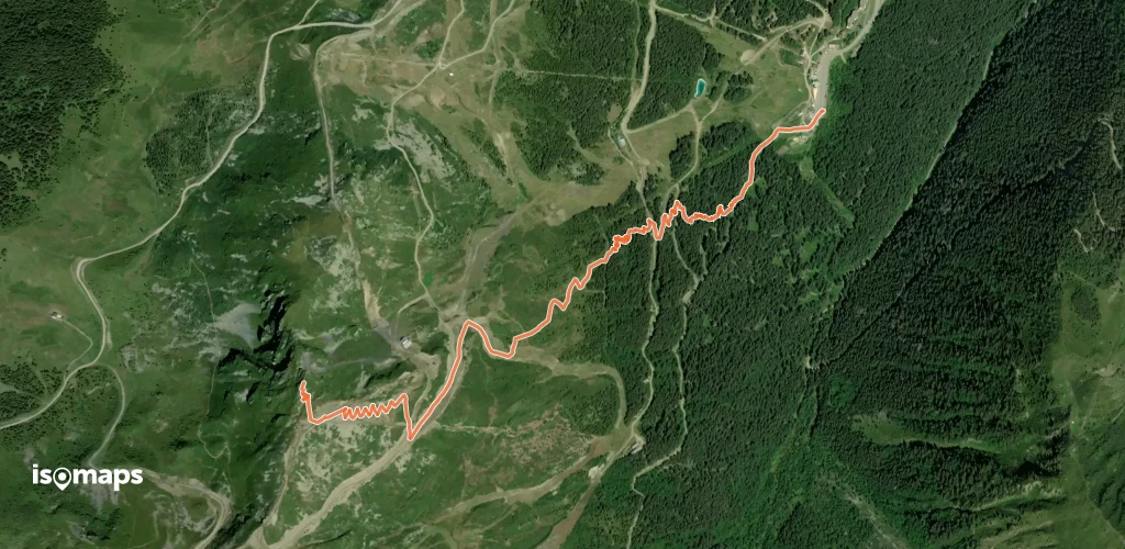
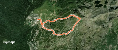
Les Sept Laux le Pleynet, France
3,42 km +726 m 1h 45min
EasyTry Isomaps free for 7 days. Available on iOS and Android.
