6,913 itinéraires dans Baden-Württemberg. Trouvez votre prochain parcours sur Isomaps — cartes topo, GPS et profil altimétrique.
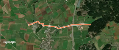
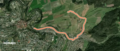
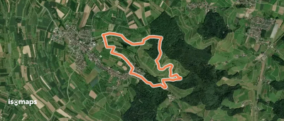
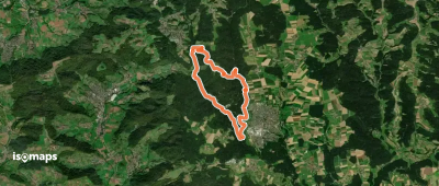
Nesselried, Allemagne
4,60 km +81 m 1h 0min
Très facile
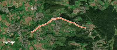
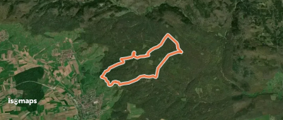

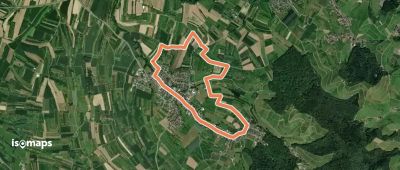
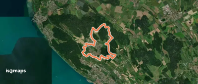
Kälbertshausen, Allemagne
4,07 km +141 m 1h 0min
Très facile
Essayez Isomaps gratuitement pendant 7 jours. Disponible sur iOS et Android.
