6,913 itinéraires dans Baden-Württemberg. Trouvez votre prochain parcours sur Isomaps — cartes topo, GPS et profil altimétrique.
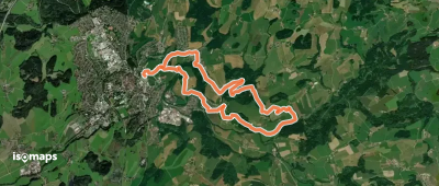


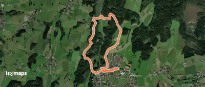

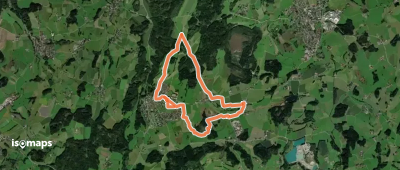
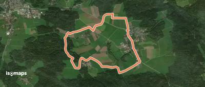
Fellbach, Allemagne
6,19 km +184 m 1h 40min
Très facile
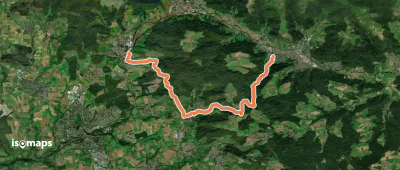
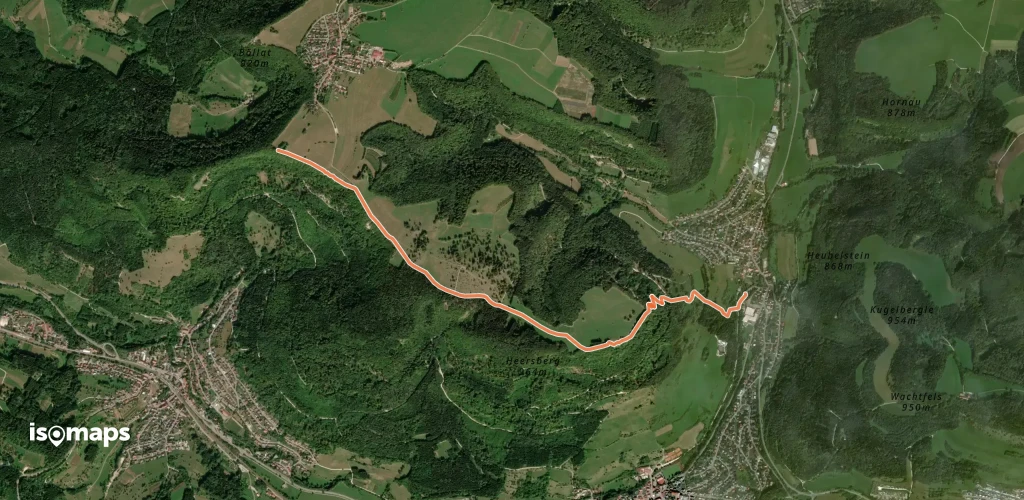
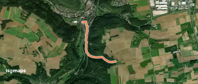
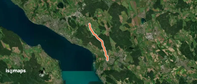
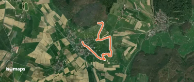
Margrethausen, Allemagne
3,99 km +315 m 1h 20min
Facile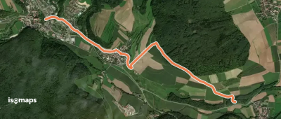
Essayez Isomaps gratuitement pendant 7 jours. Disponible sur iOS et Android.
