6,913 itinéraires dans Baden-Württemberg. Trouvez votre prochain parcours sur Isomaps — cartes topo, GPS et profil altimétrique.
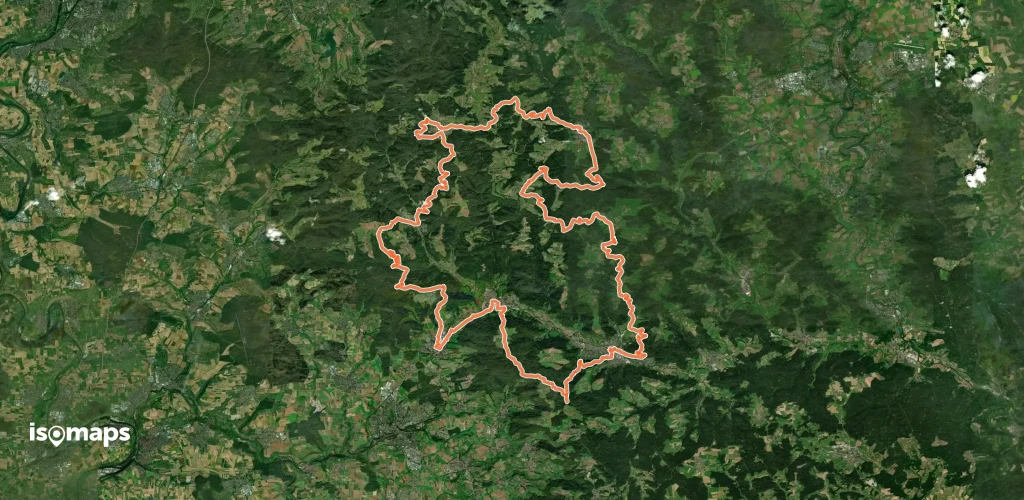

Talheim, Allemagne
2,28 km +238 m 50min
Très facile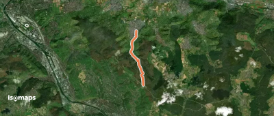
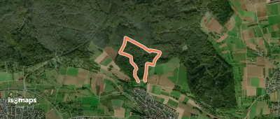

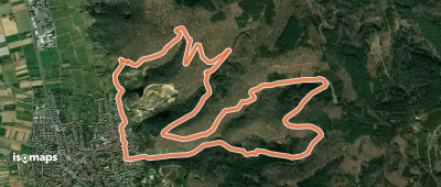
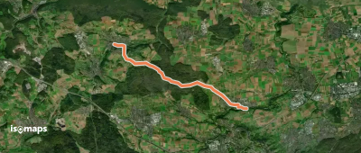
Glashütte, Allemagne
5,41 km +209 m 1h 15min
Très facile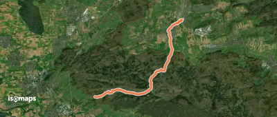
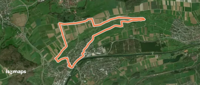
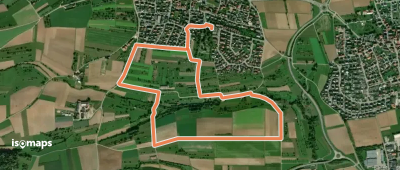
Mönchberg, Allemagne
11,47 km +226 m 2h 35min
Facile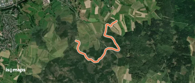
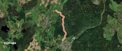
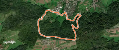
Wolpertswende, Allemagne
3,25 km +58 m 45min
Très facile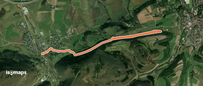

![Kandel-Höhenweg [01. Oberkirch→Gengenbach]](https://static-tiles.b-cdn.net/screenshots/screenshot_trace_127855.webp)
Oberkirch, Allemagne
25,79 km +1 237 m 7h 40min
Difficile

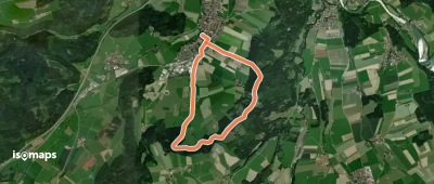
Aichstetten, Allemagne
7,70 km +212 m 1h 45min
Très facile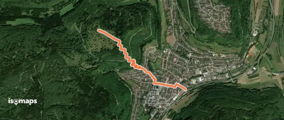
Essayez Isomaps gratuitement pendant 7 jours. Disponible sur iOS et Android.


