6,913 itinéraires dans Baden-Württemberg. Trouvez votre prochain parcours sur Isomaps — cartes topo, GPS et profil altimétrique.

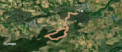
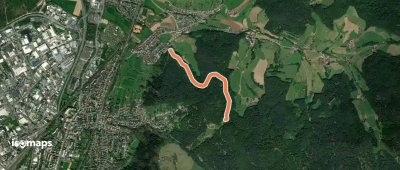
Leingarten, Allemagne
7,07 km +229 m 1h 45min
Très facile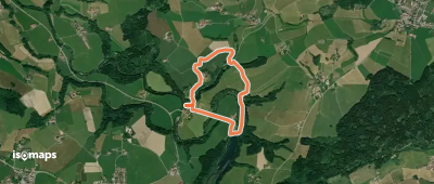


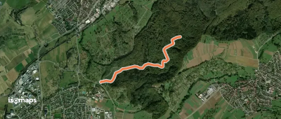
Nehren, Allemagne
2,13 km +99 m 40min
Très facile
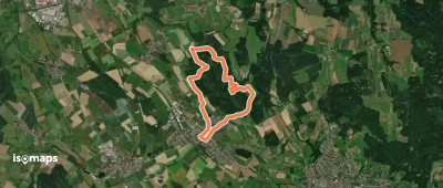
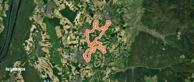
Weitprechts, Allemagne
7,96 km +204 m 1h 45min
Très facile


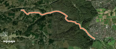
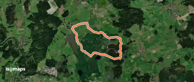
Aichstetten, Allemagne
8,81 km +116 m 1h 55min
Facile


Essayez Isomaps gratuitement pendant 7 jours. Disponible sur iOS et Android.
