6,913 itinéraires dans Baden-Württemberg. Trouvez votre prochain parcours sur Isomaps — cartes topo, GPS et profil altimétrique.


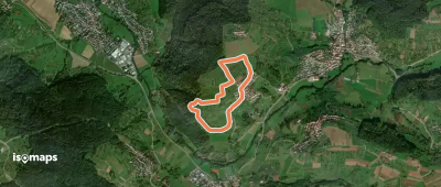


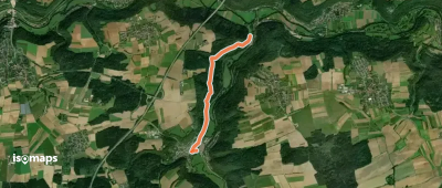
Michelbach an der Bilz, Allemagne
6,01 km +100 m 1h 20min
Très facile

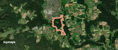
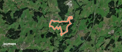
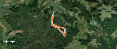
Mühringen, Allemagne
3,52 km +151 m 1h 0min
Très facile
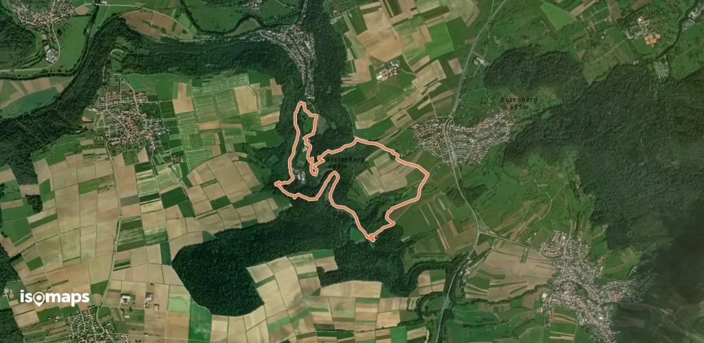
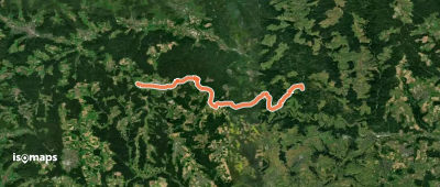
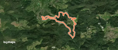
Wilhelmsdorf, Allemagne
3,68 km +179 m 55min
Très facile
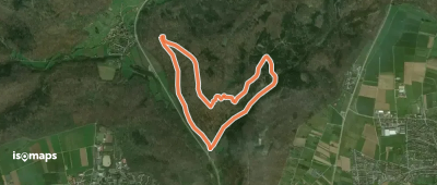

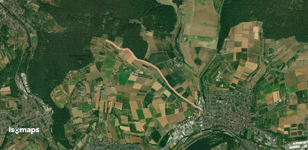
Giengen an der Brenz, Allemagne
5,38 km +191 m 1h 15min
Très facileEssayez Isomaps gratuitement pendant 7 jours. Disponible sur iOS et Android.
