Bayern

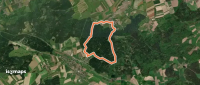
4,193 itinéraires dans Bayern. Trouvez votre prochain parcours sur Isomaps — cartes topo, GPS et profil altimétrique.

Gössenheim, blaues B auf Gelb

Wernfeld, Allemagne

12,98 km +293 m 2h 55min

Facile
Heckenweg
Heckenweg

Baumgarten, Allemagne

3,21 km +36 m 40min

Très facile
Storch
Storch

Oberdachstetten, Allemagne

6,89 km +163 m 1h 35min

Très facile
Fu24 »Lixenrieder Felsenlabyrinth« (Furth im Wald)

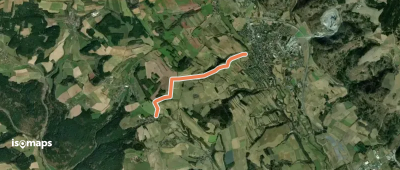
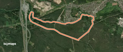
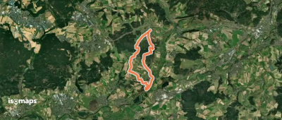
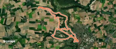
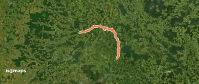
Lixenried, Allemagne

3,76 km +280 m 1h 15min

Très facile
Rundweg Draisdorf
Rundweg Draisdorf

Draisdorf, Allemagne

5,16 km +143 m 1h 20min

Très facile
Archäologischer Wanderweg

Mauern, Allemagne

15,00 km +141 m 3h 0min

Facile
Lauter Laurenzimarter (L 3)

Lauter, Allemagne

4,75 km +119 m 1h 0min

Très facile
Weiden-Erbendorf
Weiden-Erbendorf

Erbendorf, Allemagne

25,01 km +497 m 5h 35min

Difficile
Lindle
Lindle

Ederheim, Allemagne

2,78 km +90 m 45min

Très facile
Spalt IVV 12
Spalt IVV 12

Spalt, Allemagne

6,22 km +145 m 1h 20min

Très facile
Wasserwirtschaftlicher Lehrpfad

Nerreth, Allemagne

6,78 km +118 m 1h 35min

Très facile
3-Täler-Weg
3-Täler-Weg

Lintach, Allemagne

14,64 km +329 m 3h 15min

Facile
Marktgraitzer Rundweg

Schneckenlohe, Allemagne

11,53 km +354 m 2h 40min

Facile
Gössenheim, blaues K auf Gelb

Gössenheim, Allemagne

21,27 km +686 m 4h 50min

Difficile
Rothenburger W8 - Postbotenweg

Rothenburg upon Tauber, Allemagne

14,56 km +472 m 3h 55min

Modéré
Dachs
Dachs

Spielberg, Allemagne

7,40 km +164 m 1h 35min

Très facile
Gelbpunkt
Gelbpunkt

Sondernohe, Allemagne

20,86 km +475 m 4h 30min

Difficile
Rundweg Nedensdorf

Wiesen, Allemagne

3,32 km +154 m 50min

Très facile
Hirschaid - Spies
Hirschaid - Spies

Hirschaid, Allemagne

69,20 km +2 067 m 16h 45min

Très difficile
Rhön-Rundweg Schondra 3

Obergeiersnest, Allemagne

4,65 km +138 m 1h 10min

Très facile

Prêt pour votre prochaine sortie ?

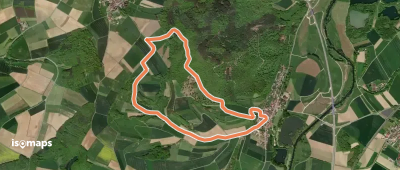
Essayez Iso Maps gratuitement pendant 7 jours. Disponible sur iOS et Android.

Télécharger sur iOS Télécharger sur Android APK (sans Google)