4,193 itinéraires dans Bayern. Trouvez votre prochain parcours sur Isomaps — cartes topo, GPS et profil altimétrique.

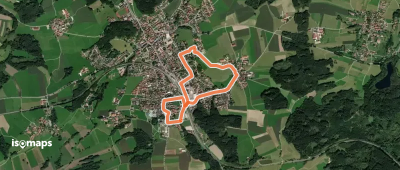
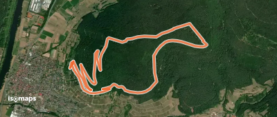
Bad Alexandersbad, Allemagne
5,03 km +144 m 1h 10min
Très facile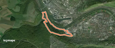

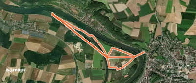
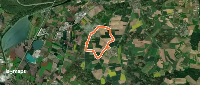
Oberndorf, Allemagne
4,18 km +21 m 50min
Très facile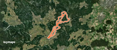


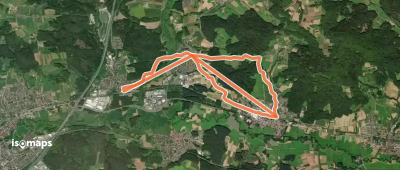
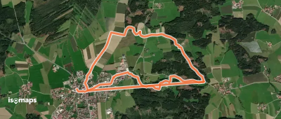
Aichach, Allemagne
11,57 km +186 m 2h 25min
Facile

Essayez Iso Maps gratuitement pendant 7 jours. Disponible sur iOS et Android.
