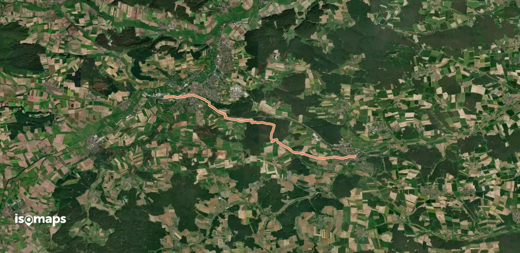
4,193 itinéraires dans Bayern. Trouvez votre prochain parcours sur Isomaps — cartes topo, GPS et profil altimétrique.
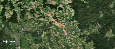

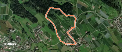
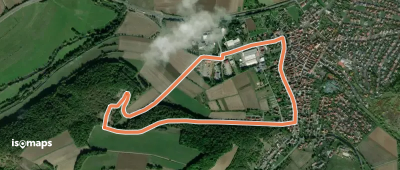
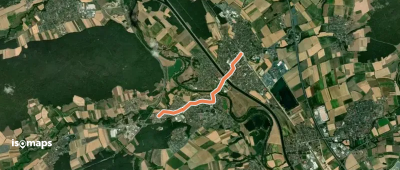
Bodolz, Allemagne
2,56 km +66 m 35min
Très facile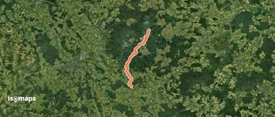
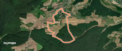

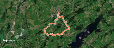
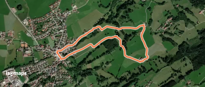
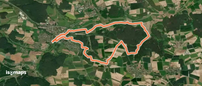
Bodolz, Allemagne
4,19 km +92 m 55min
Très facile
Essayez Isomaps gratuitement pendant 7 jours. Disponible sur iOS et Android.
