4,193 itinéraires dans Bayern. Trouvez votre prochain parcours sur Isomaps — cartes topo, GPS et profil altimétrique.
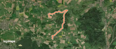
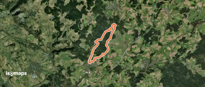
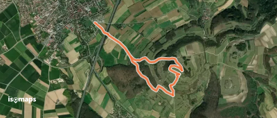
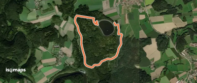
Oedhof bei Eckental, Allemagne
5,38 km +180 m 1h 25min
Très facile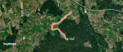


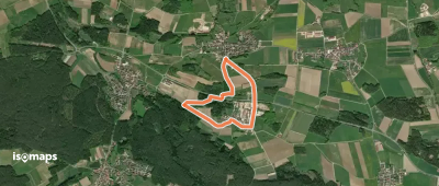
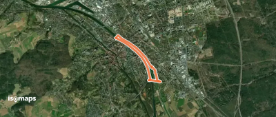
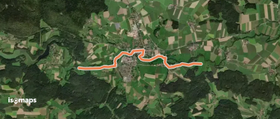
Bamberg, Allemagne
5,02 km +72 m 1h 10min
Très facile


Essayez Isomaps gratuitement pendant 7 jours. Disponible sur iOS et Android.
