4,193 itinéraires dans Bayern. Trouvez votre prochain parcours sur Isomaps — cartes topo, GPS et profil altimétrique.
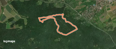
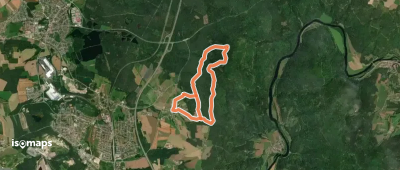
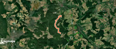
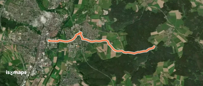
Regenstauf, Allemagne
11,91 km +305 m 2h 35min
Facile


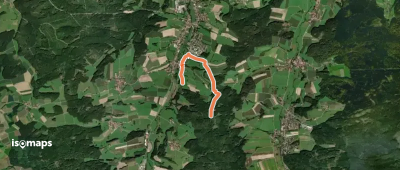
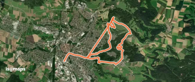
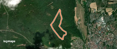
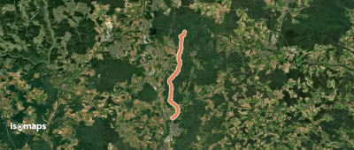
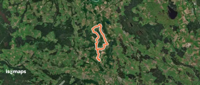
Neumarkt in der Oberpfalz, Allemagne
11,19 km +427 m 3h 5min
Facile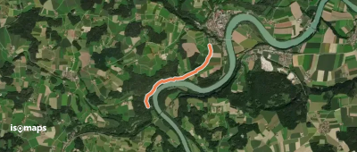


Essayez Isomaps gratuitement pendant 7 jours. Disponible sur iOS et Android.
