4,193 itinéraires dans Bayern. Trouvez votre prochain parcours sur Isomaps — cartes topo, GPS et profil altimétrique.
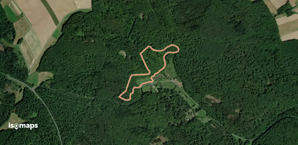
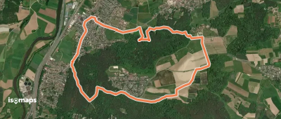
Bad Neualbenreuth, Allemagne
4,05 km +88 m 1h 0min
Très facile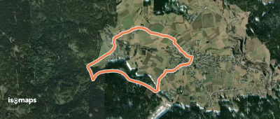
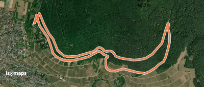
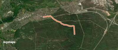

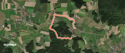
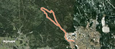
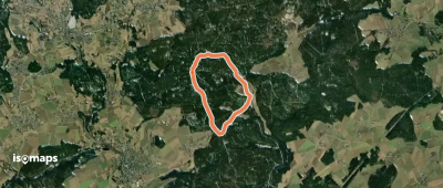
Neunkirchen am Sand, Allemagne
7,88 km +150 m 1h 40min
Très facile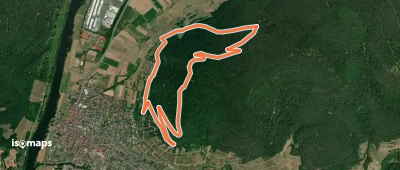
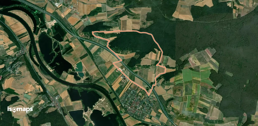
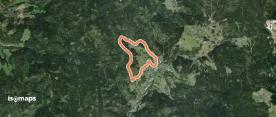
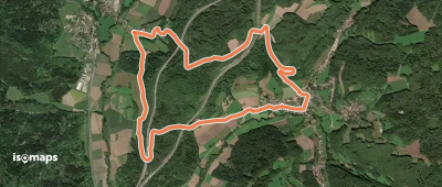
Fichtelberg, Allemagne
3,52 km +83 m 45min
Très facile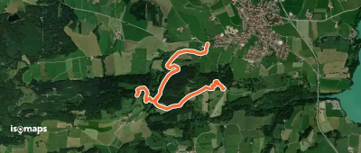

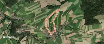
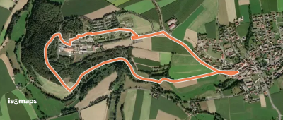
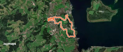
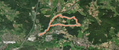
Bad Neualbenreuth, Allemagne
2,96 km +65 m 40min
Très facile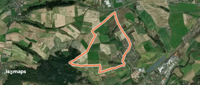
Essayez Isomaps gratuitement pendant 7 jours. Disponible sur iOS et Android.
